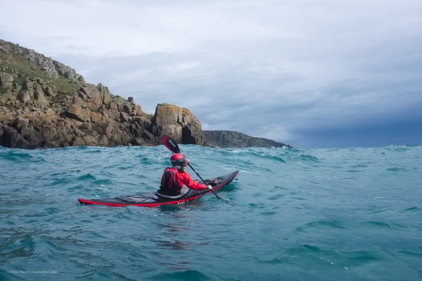
Rides bikes, paddles sea kayaks, takes pictures. Life on the road & my home in Cornwall.
Pampa to Puna – La Quiaca to San Antonio de los Cobres
Posted on
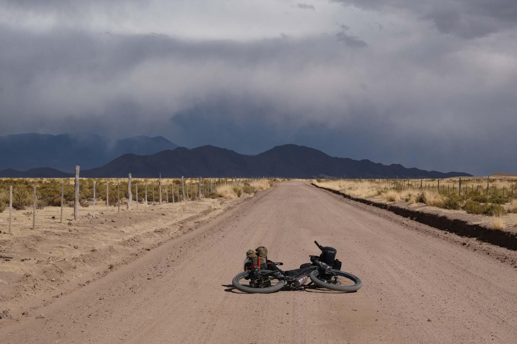
The winds of the high puna of northern Argentina and Chile are infamous amongst touring cyclists. They are to be expected but every so often, as with weather anywhere, the winds can reach an intensity somewhat greater than might normally be expected. One of those days turned into one of the most testing days on two wheels I can remember, far more intense than anything I recall experiencing in ‘windy season’ down in Patagonia, probably because of the sand…
This part of the Andes is criss-crossed by various routes that have become the established ‘norms’ for cyclists heading up and down the Andes; with good reason too – they’re beautiful and take in some interesting places. With the benefit of being in more of a mode of filling in gaps from previous visits rather than exploring for the first time, my route from the Argentina / Bolivia border at La Quiaca / Villazón didn’t follow any of those. As such I enjoyed quiet trails and some spectacular sights that are perhaps less familiar. Besides, I think it’s good thing to go a different way from time to time.
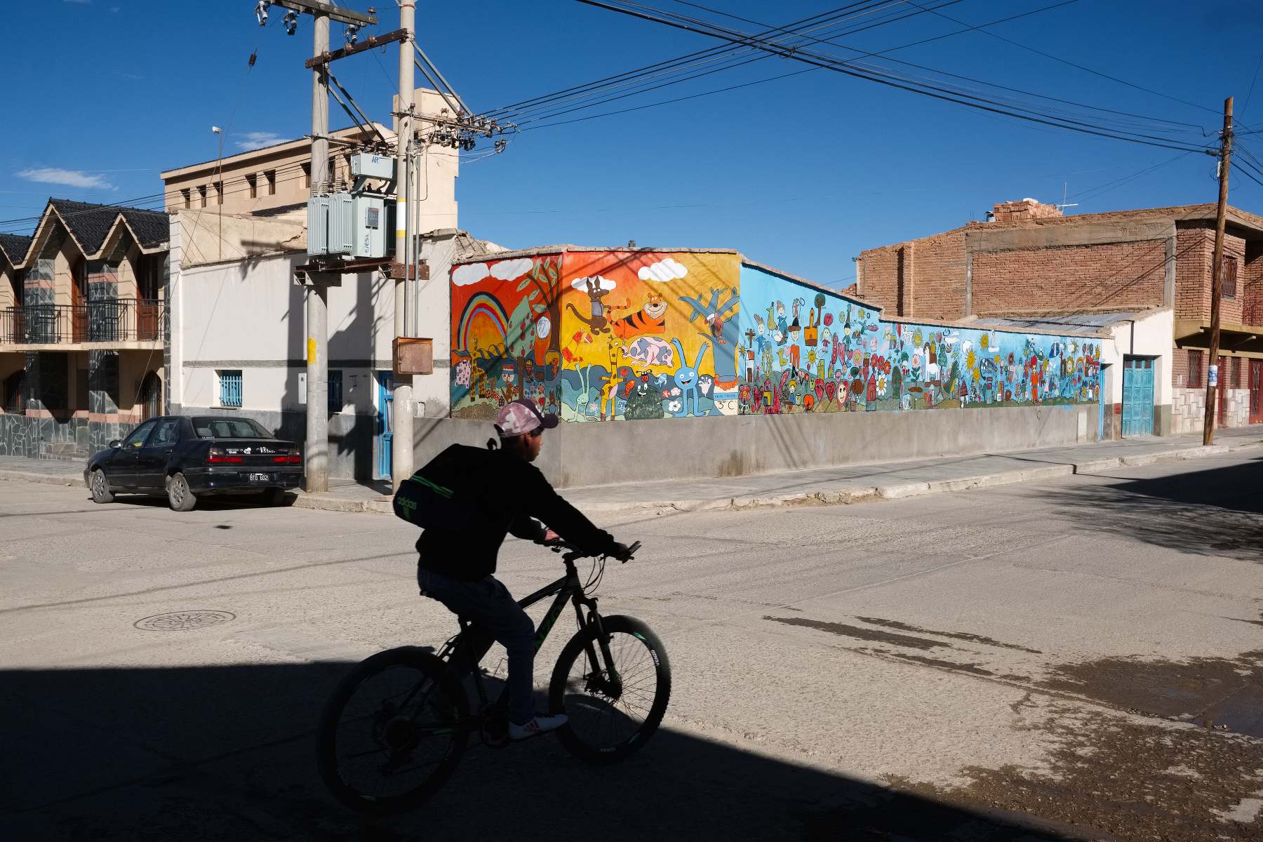
Many border towns are grim places, La Quiaca in contrast I found to be quite pleasant. Faded architecture, the legacy of a now abandoned railroad, and a good market – all things that appeal to me. Unlike previous visits to Argentina, as a Brit, I did experience a little hostility on a couple of occasions over the Las Malvinas / Falklands. I wondered if the government or media has been stirring that up again to distract folk from the severe economic problems at home: an official inflation rate of 53% and a peso that recently lost almost half it’s value overnight.
As I write I’m having a couple of days of rest in the small town of San Antonio de los Cobres in Salta province. It’s a chilly, windswept place sitting at about 3800m. I imagine there will be some street photography at some point. I’m feeling quite a deep tiredness, mental and physical, so from here rather than continuing across the high puna I think just one more high pass, Argentina’s highest at 5000m, before descending all the way down to just 1600m. It will then be time anyway to start making my way southeast away from the Andes to meet my friends in San Luis.
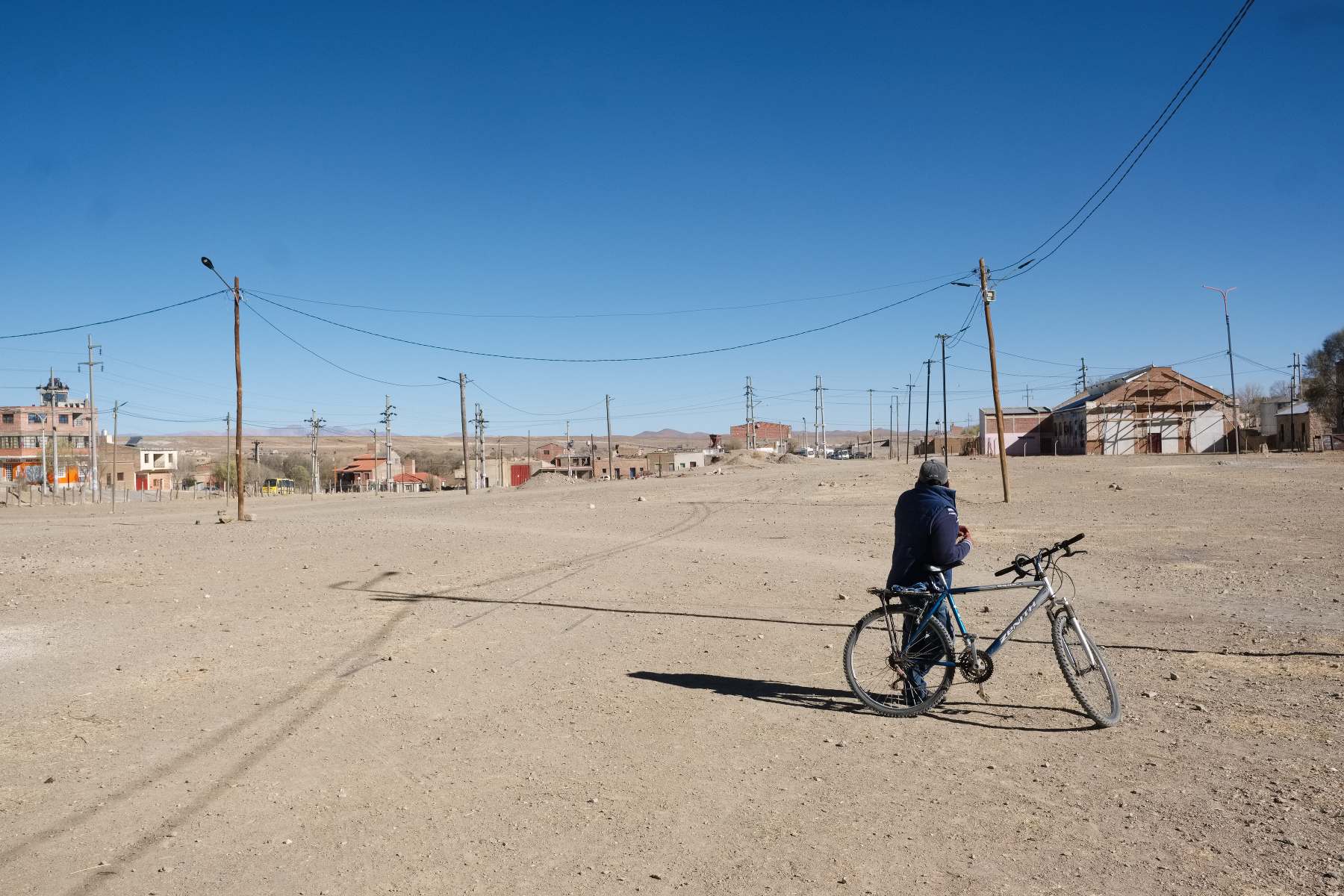
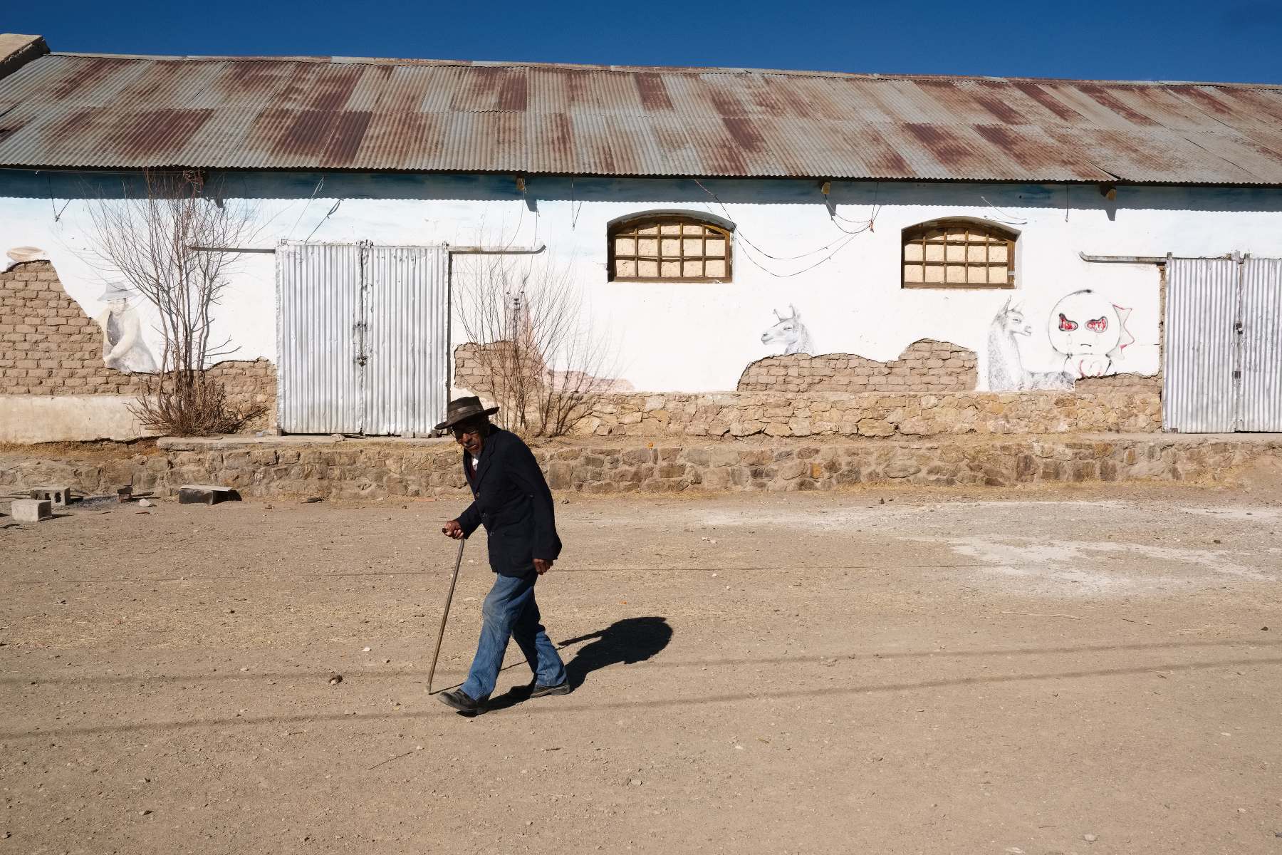
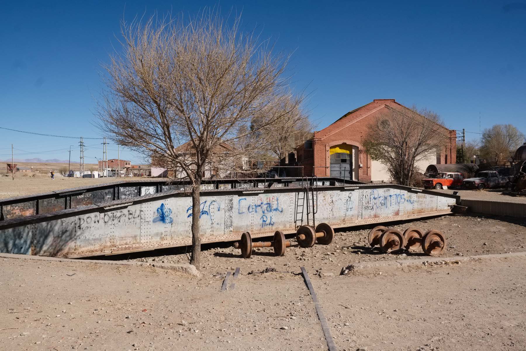
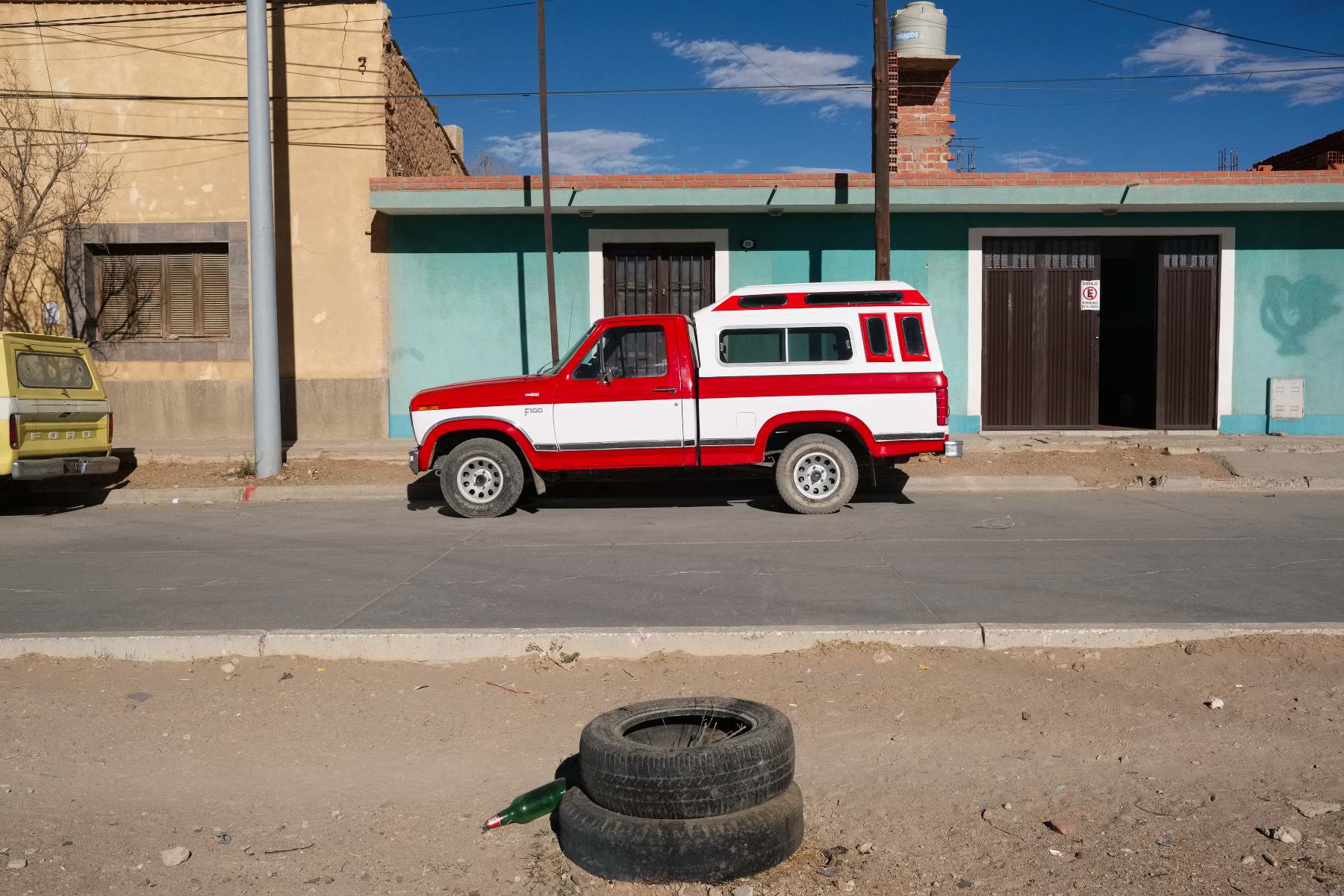
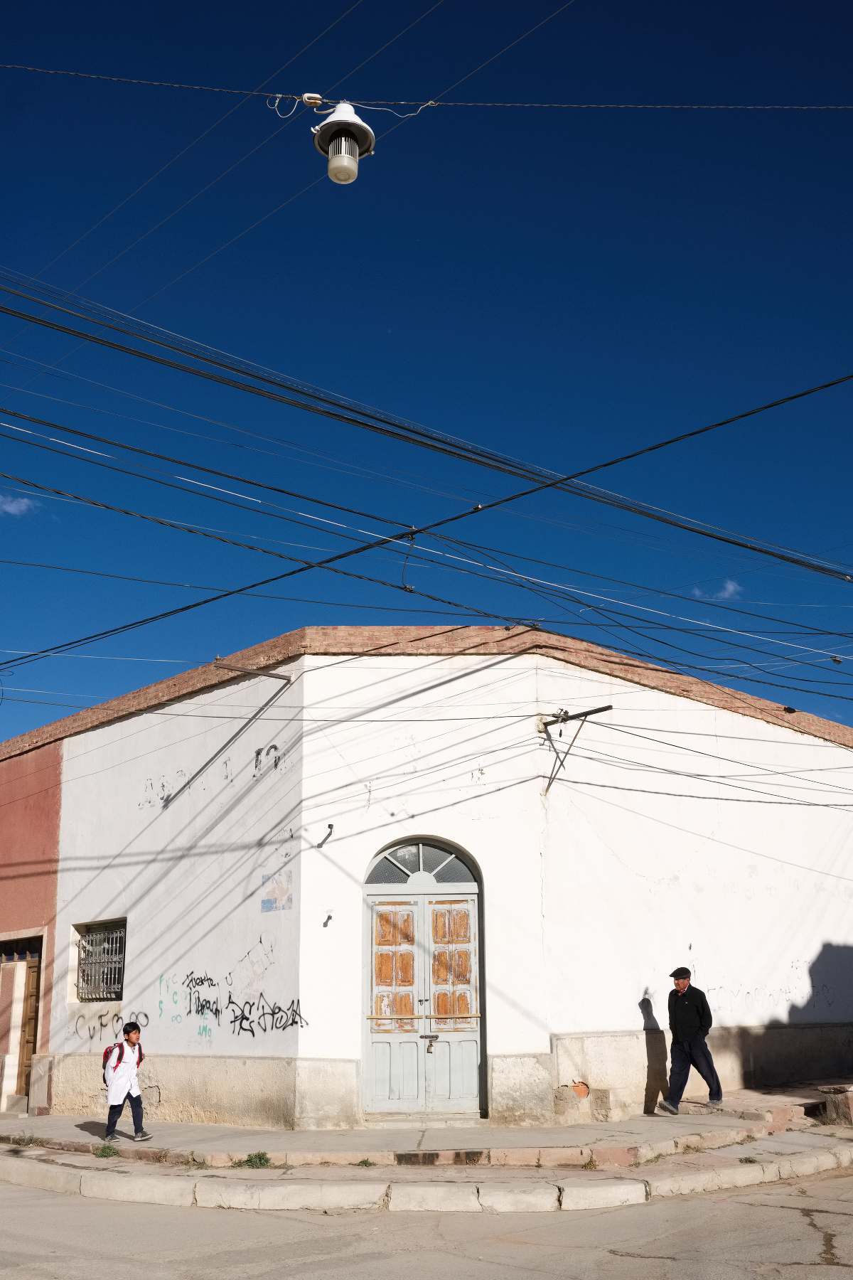
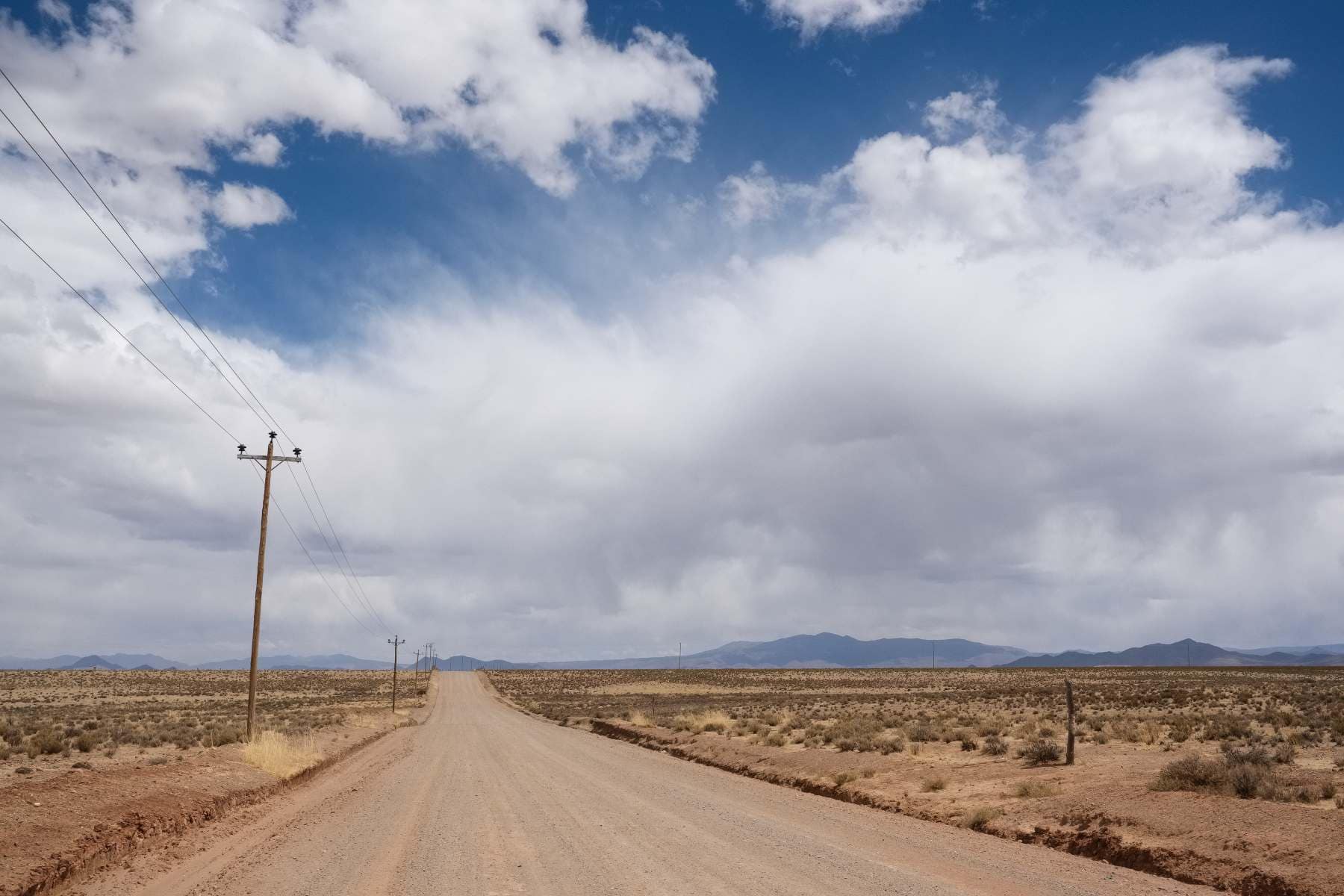
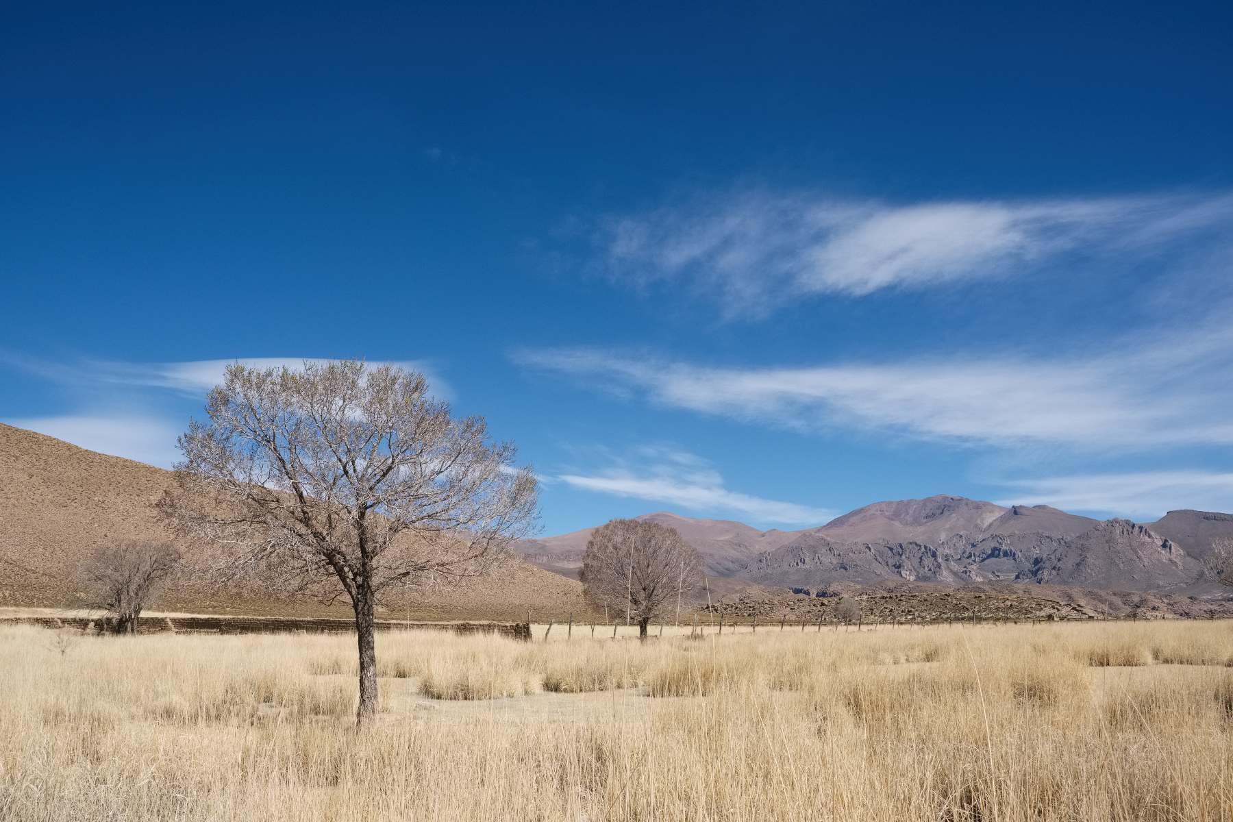
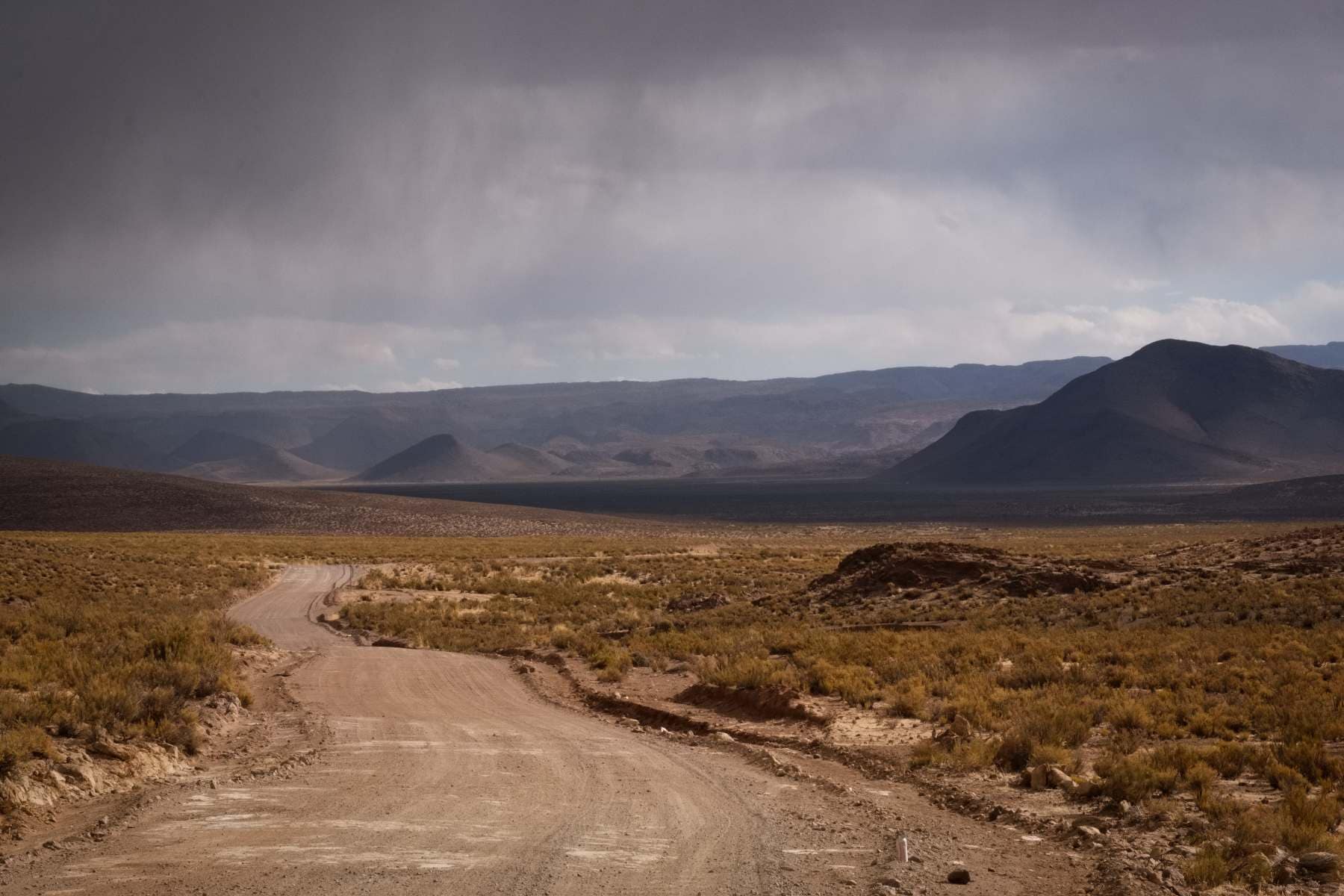
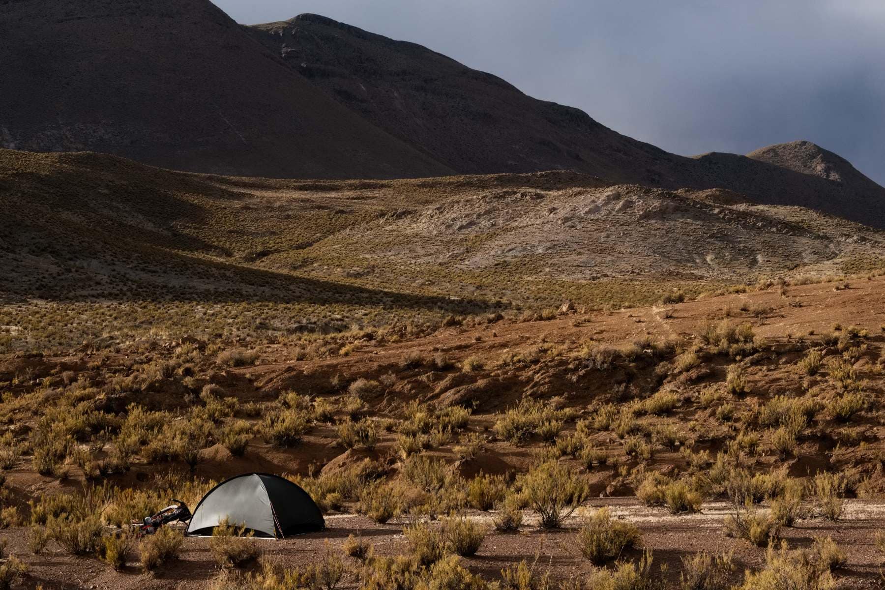
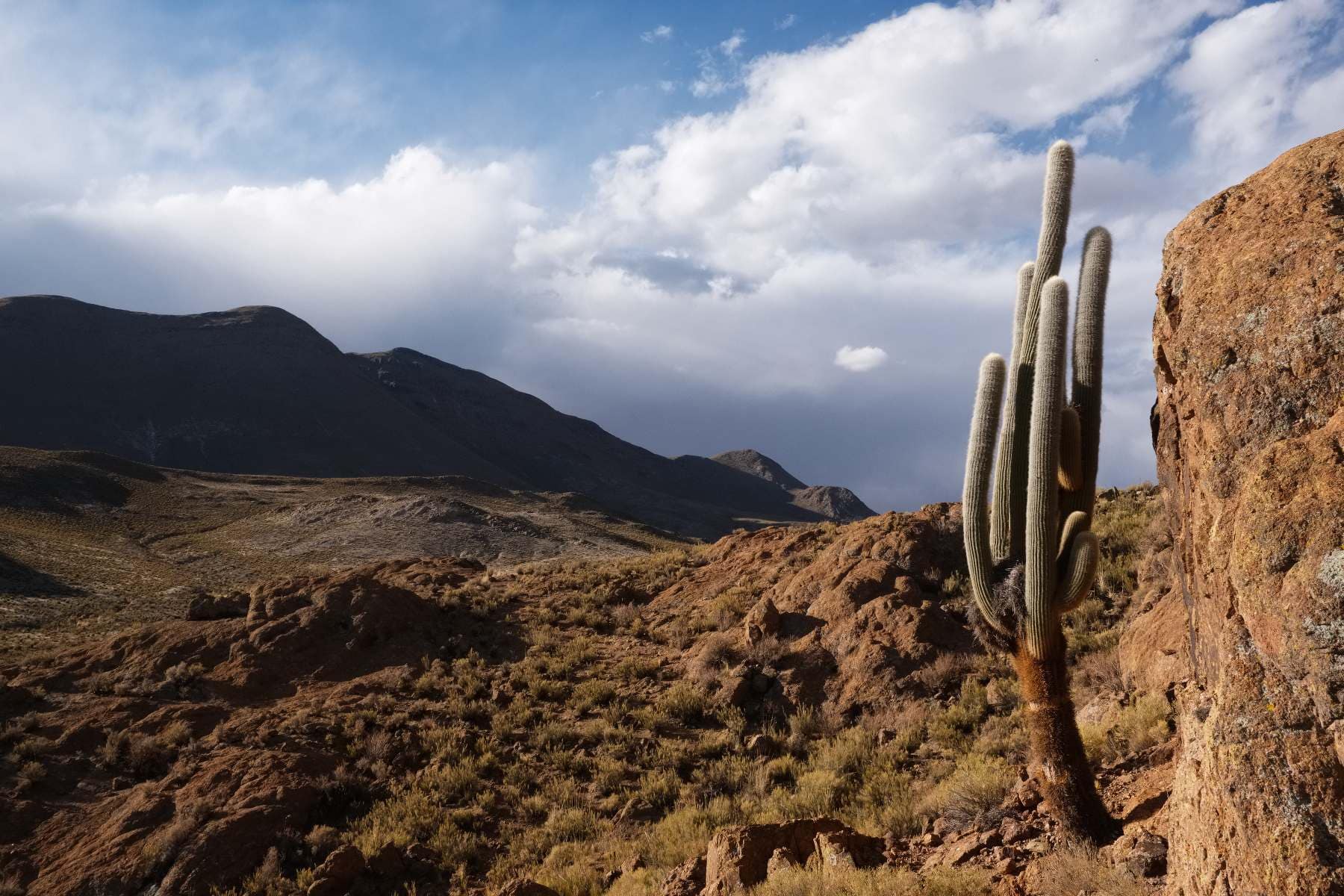
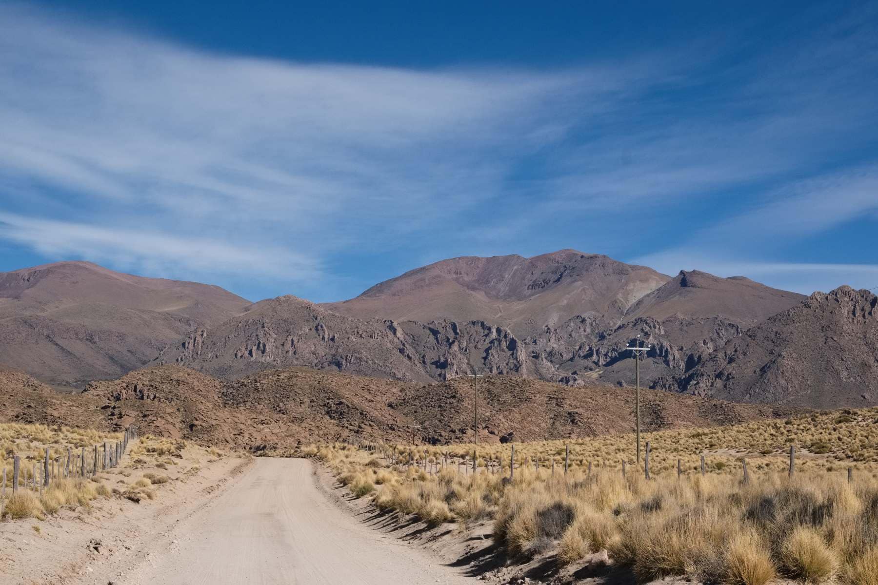
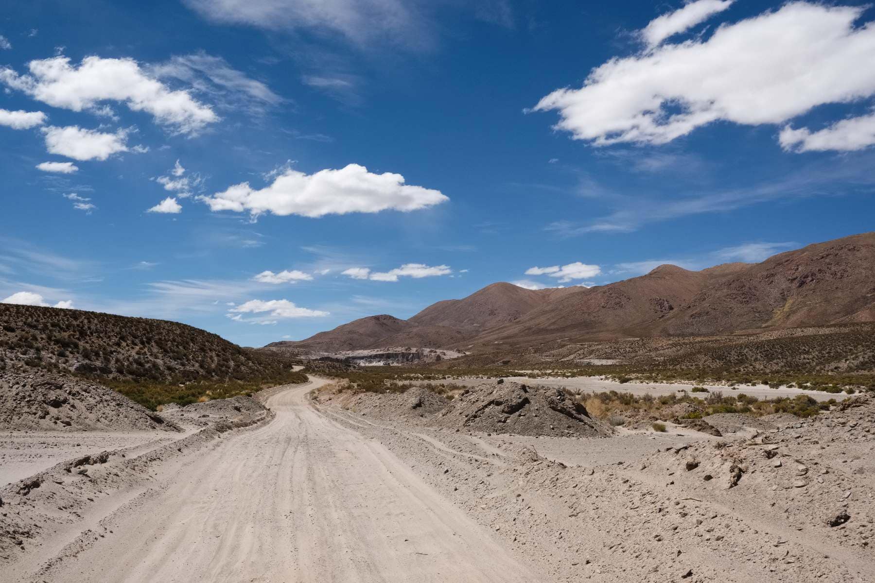
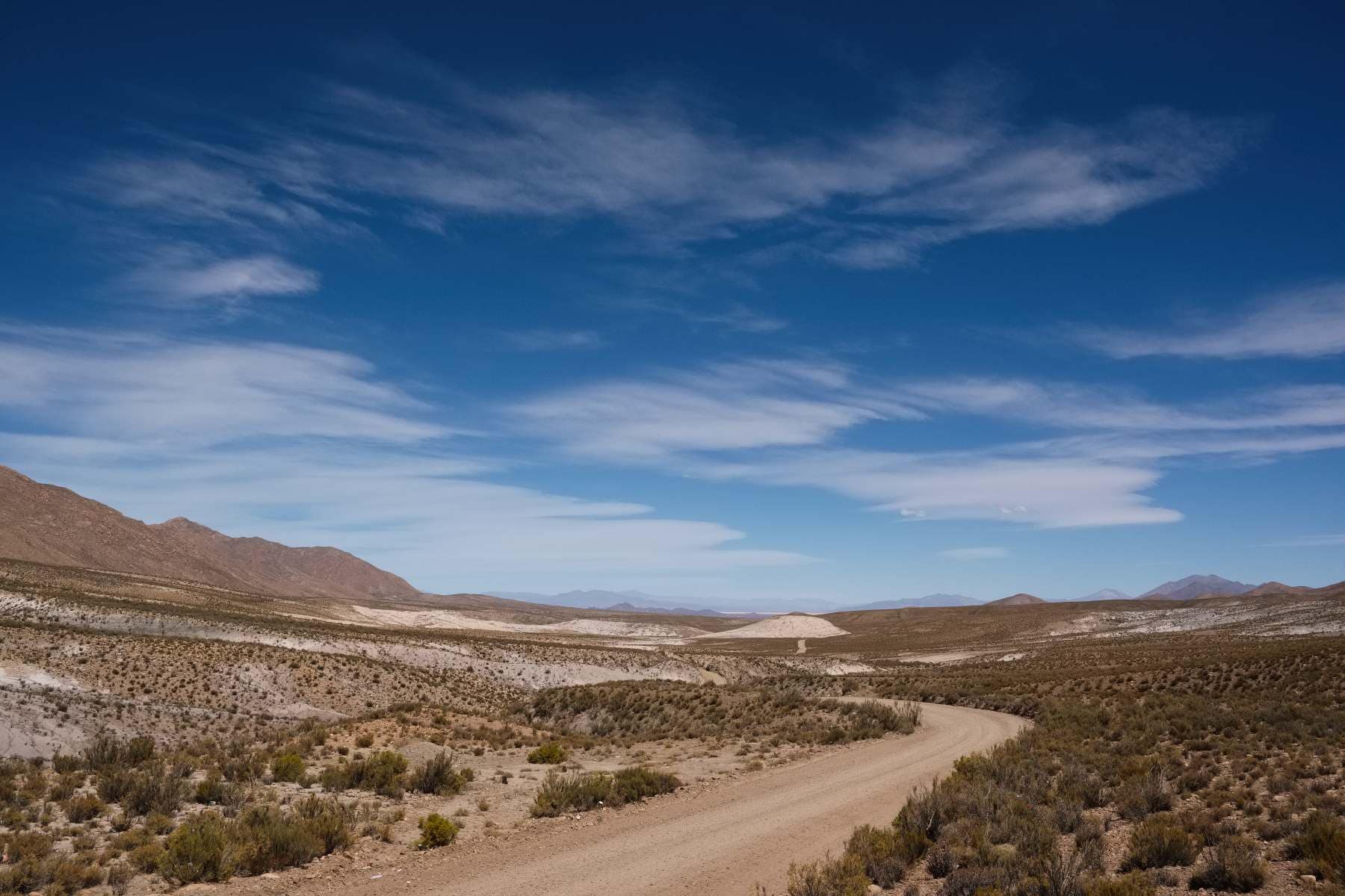
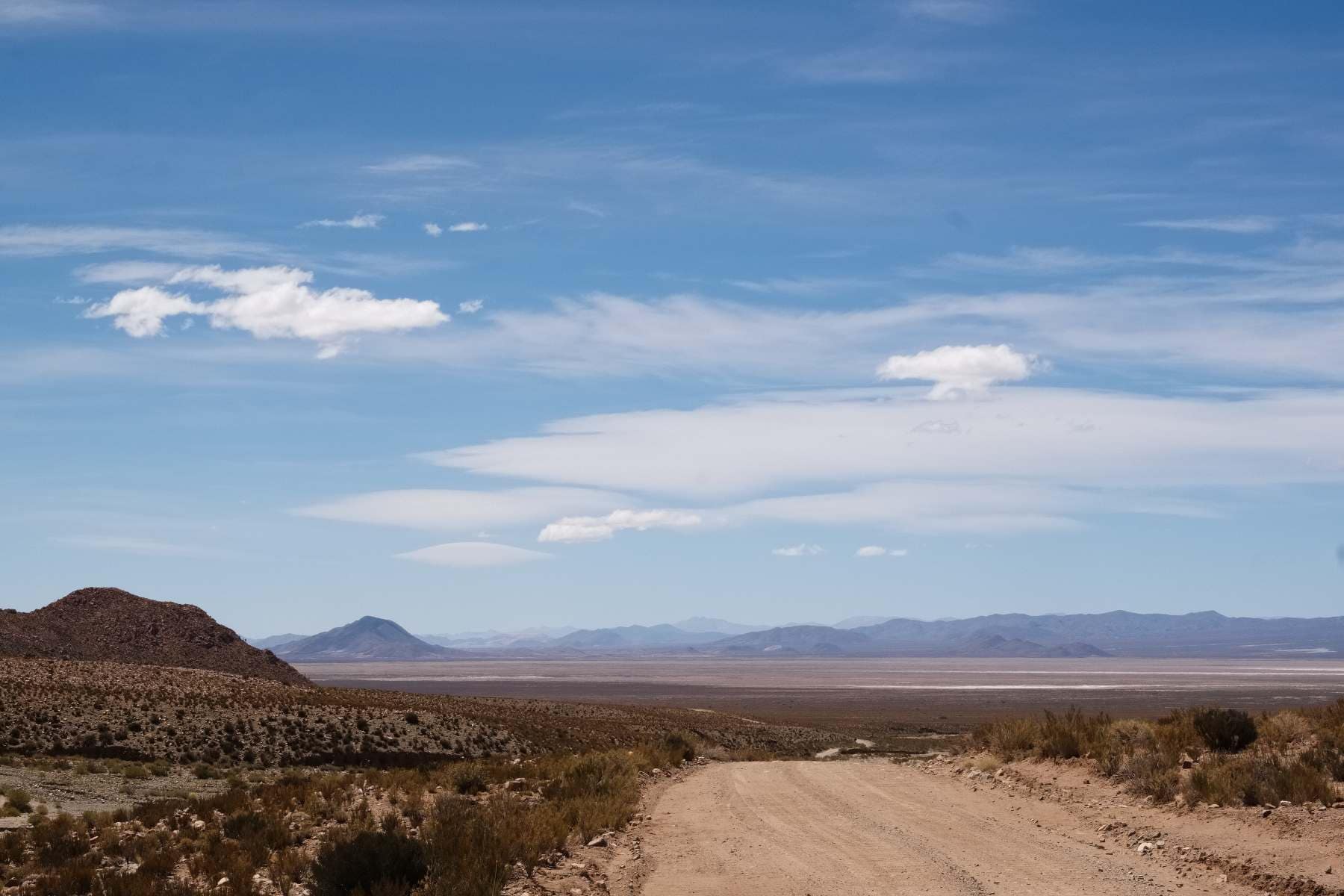
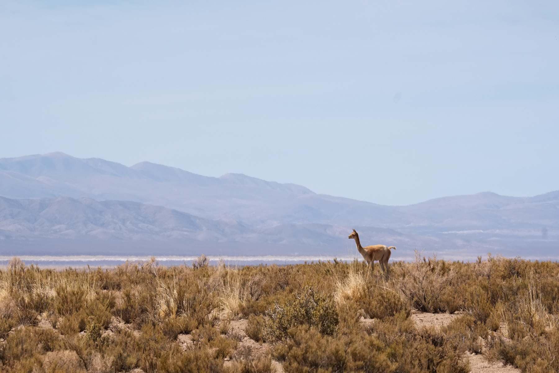
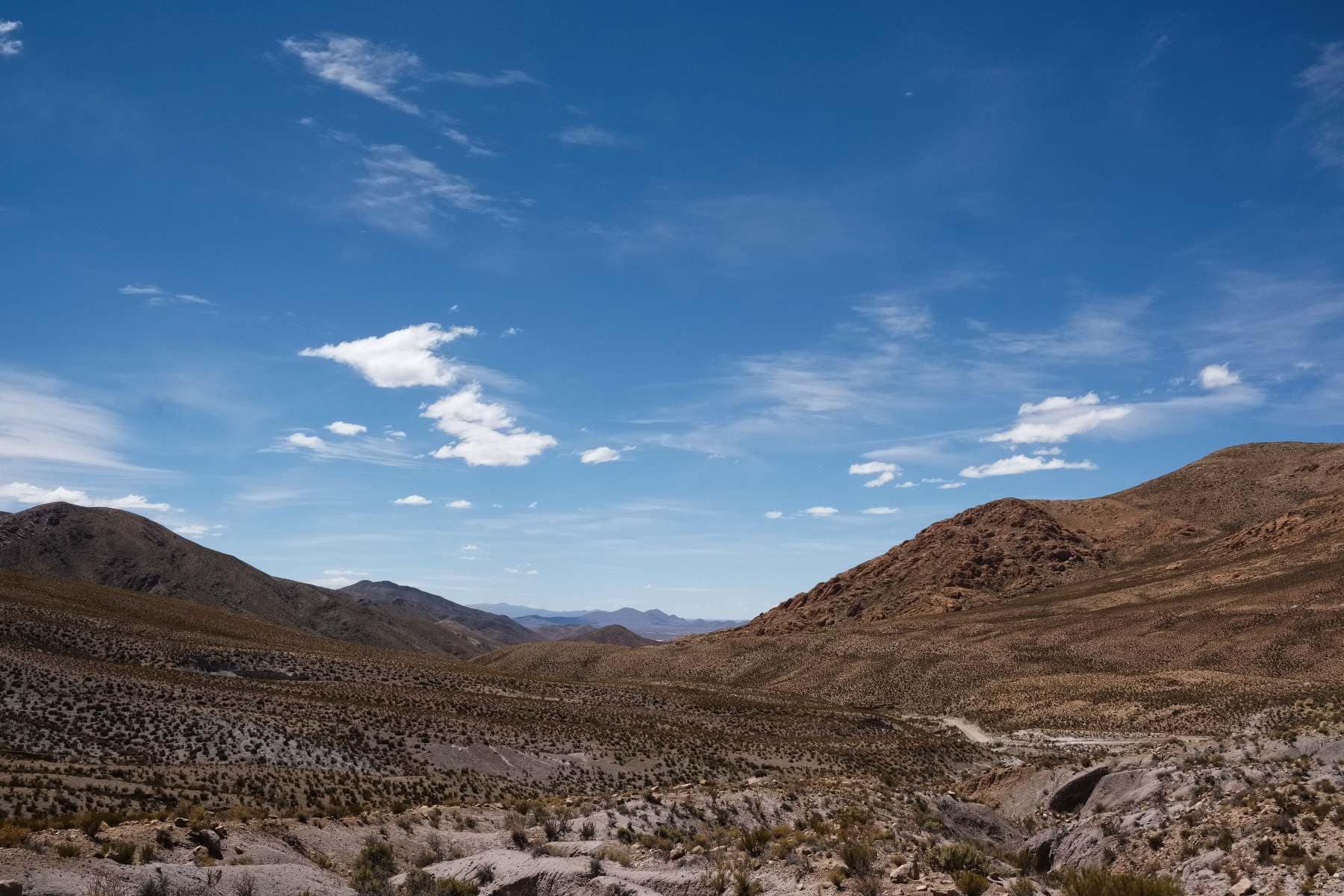
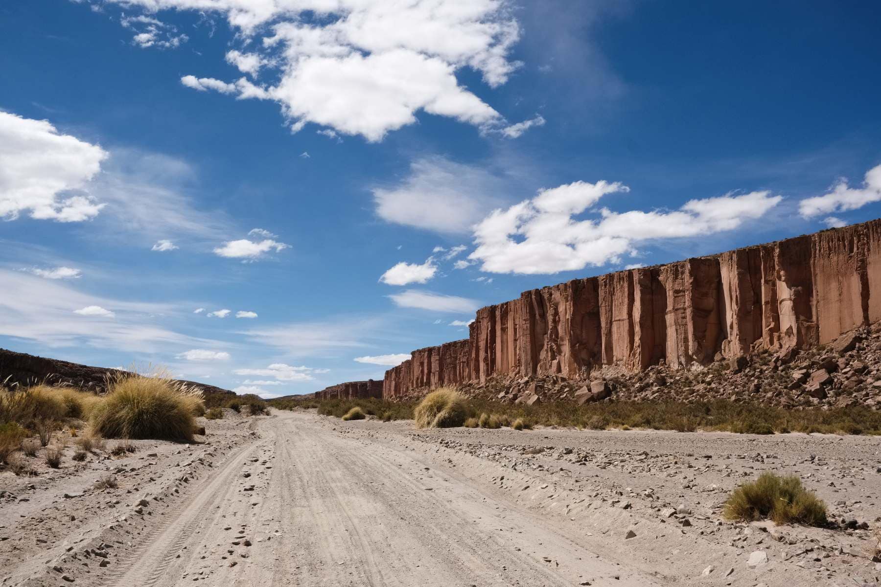
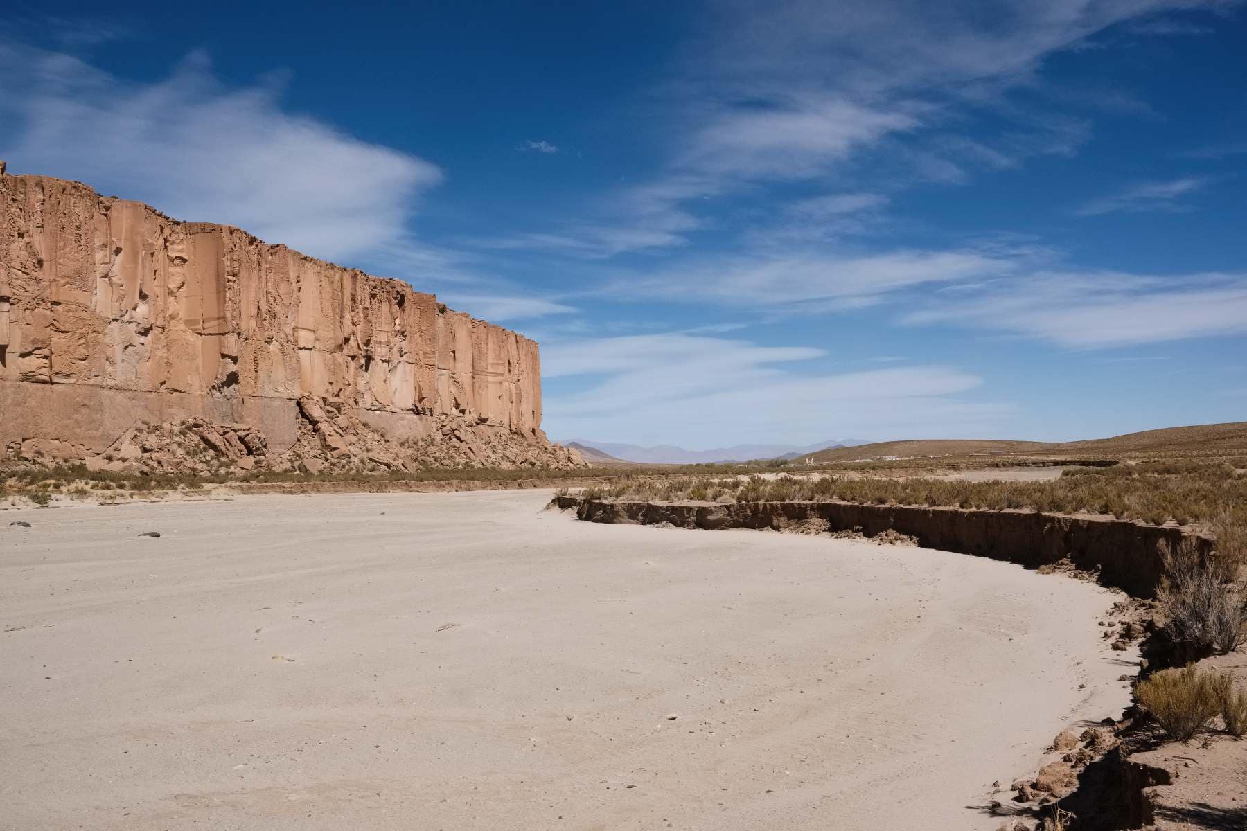
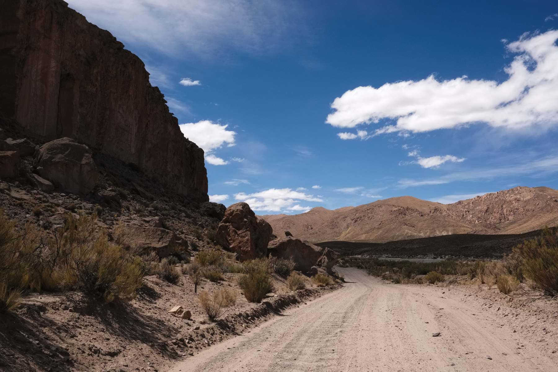
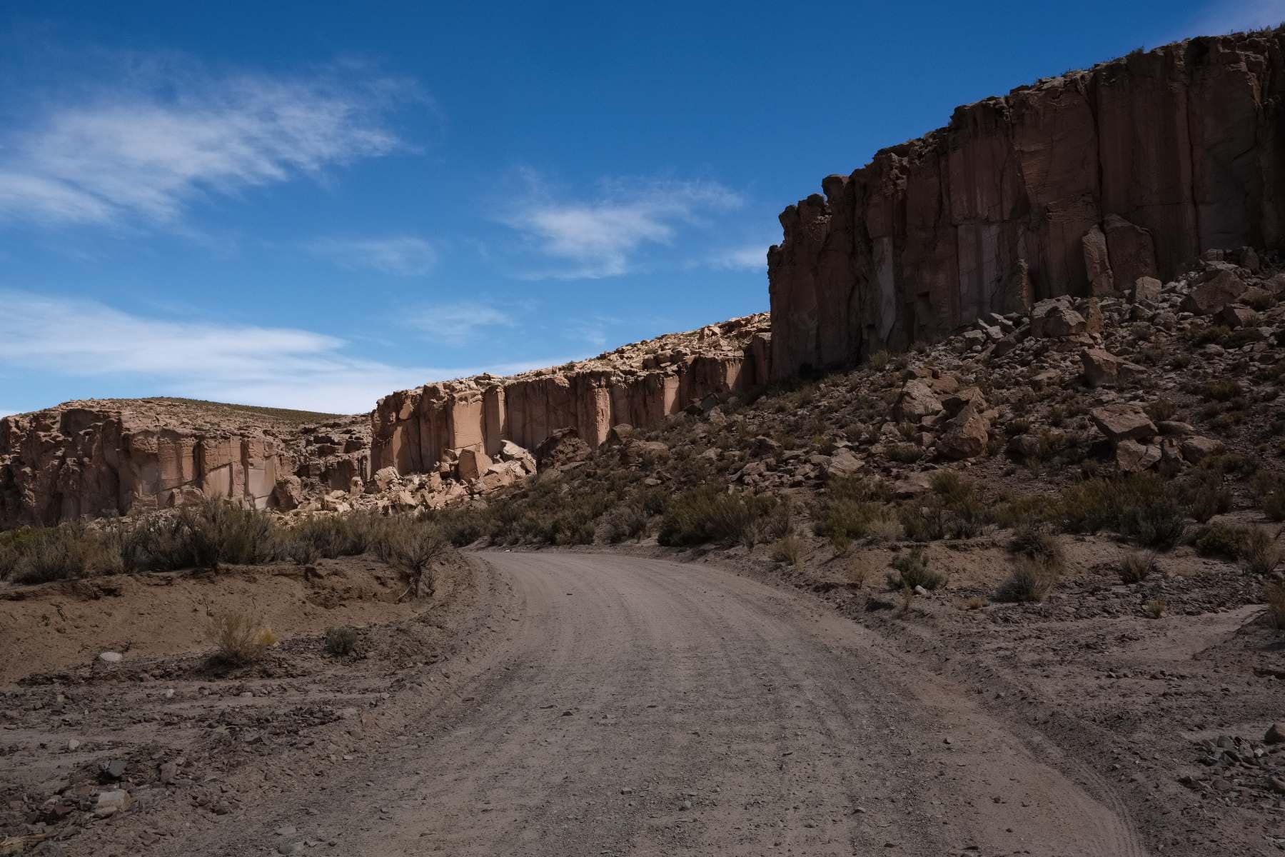
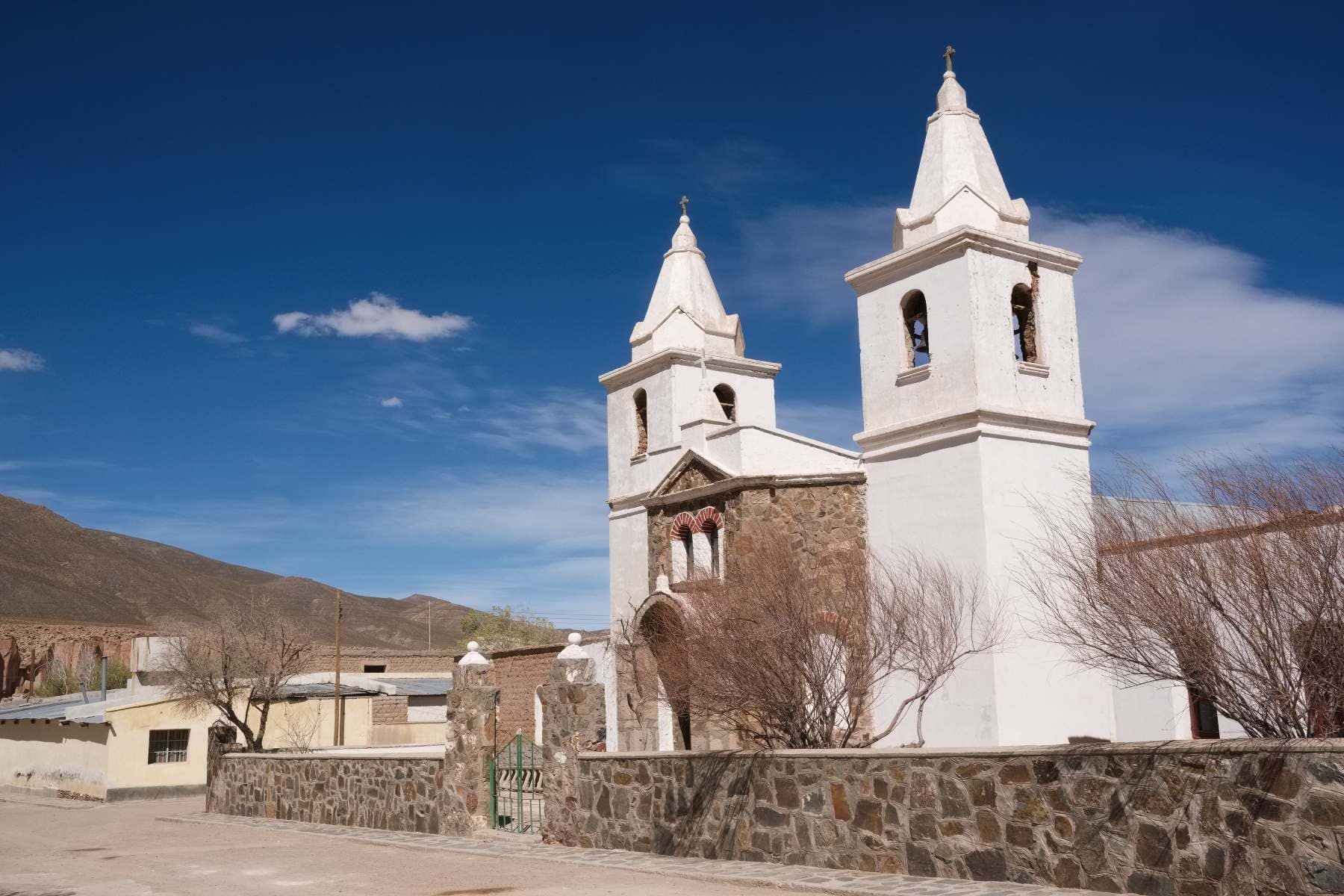
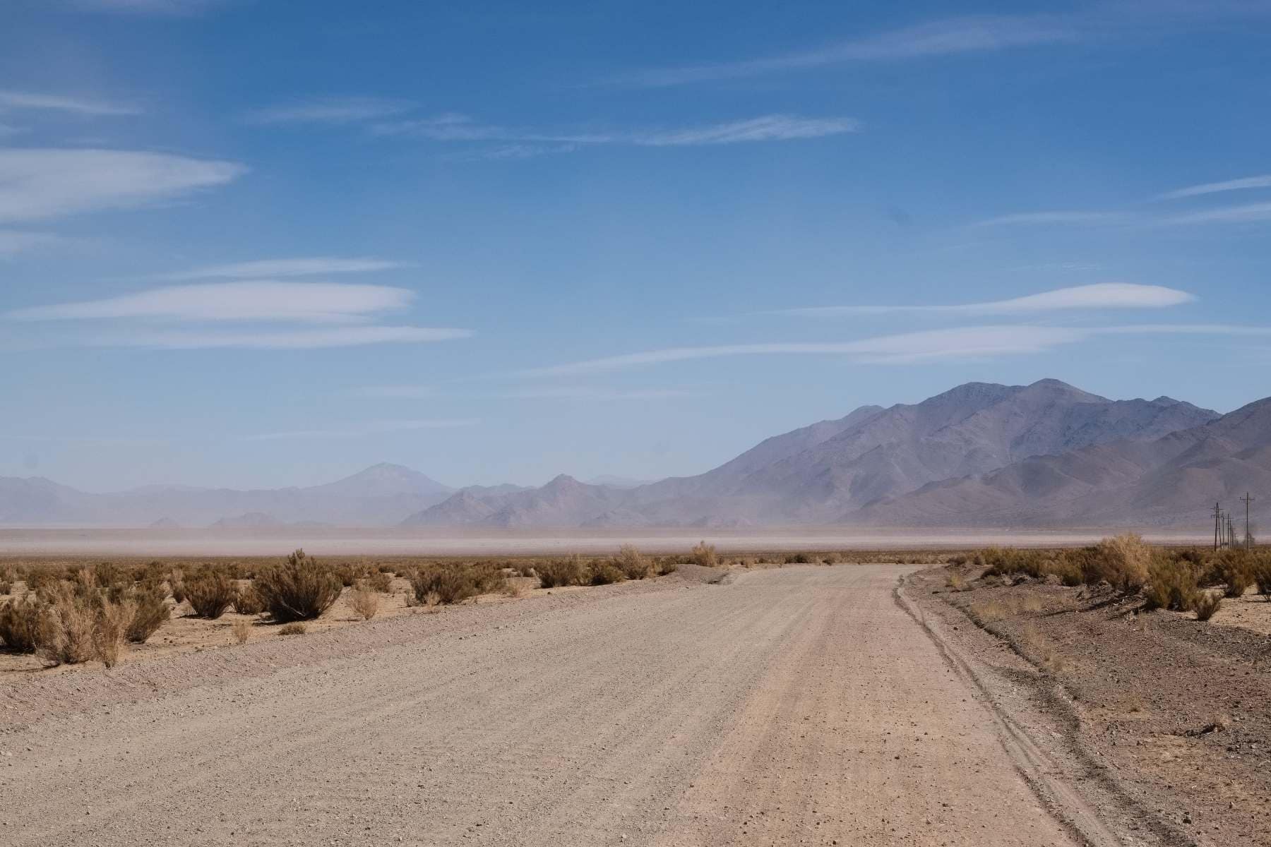
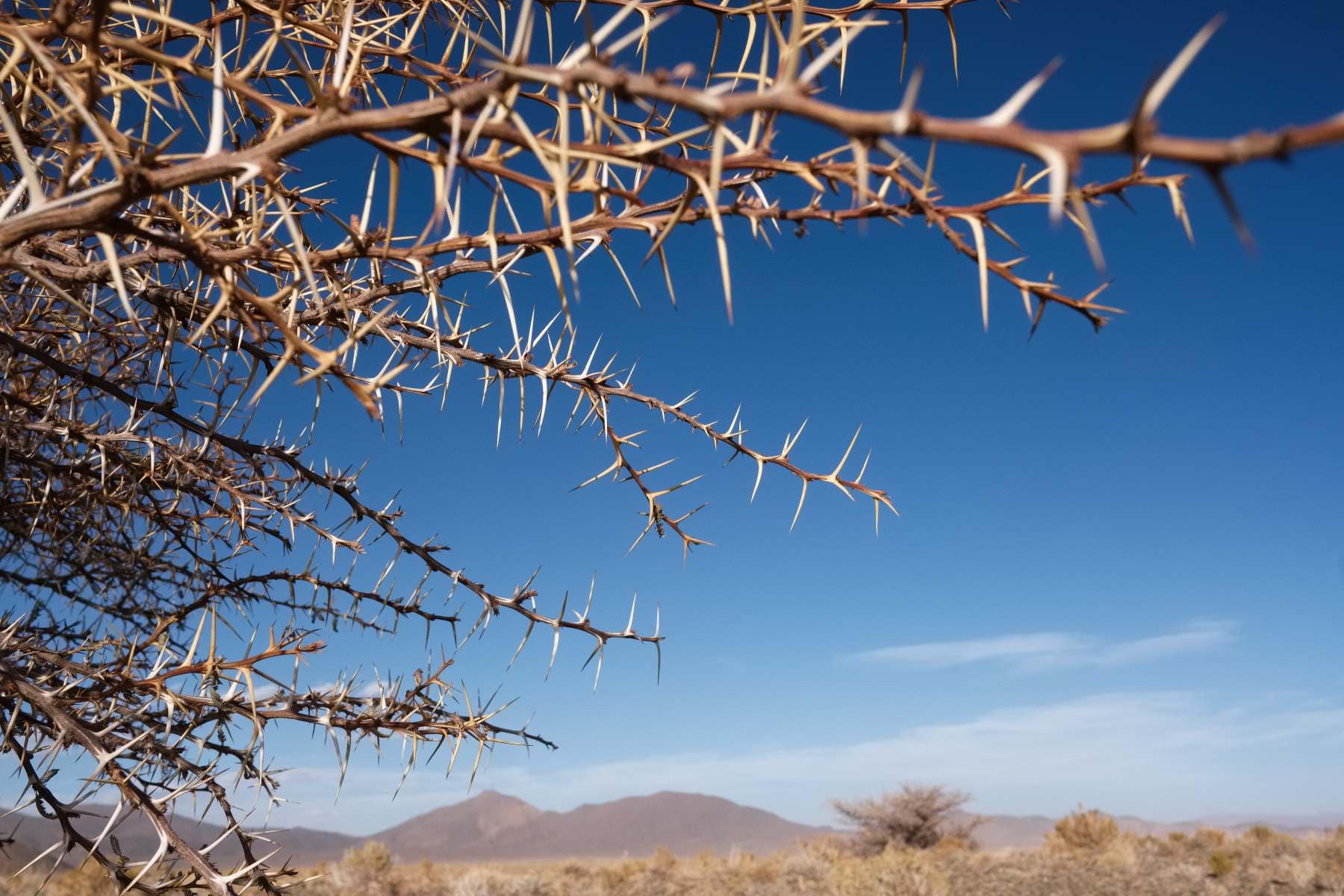
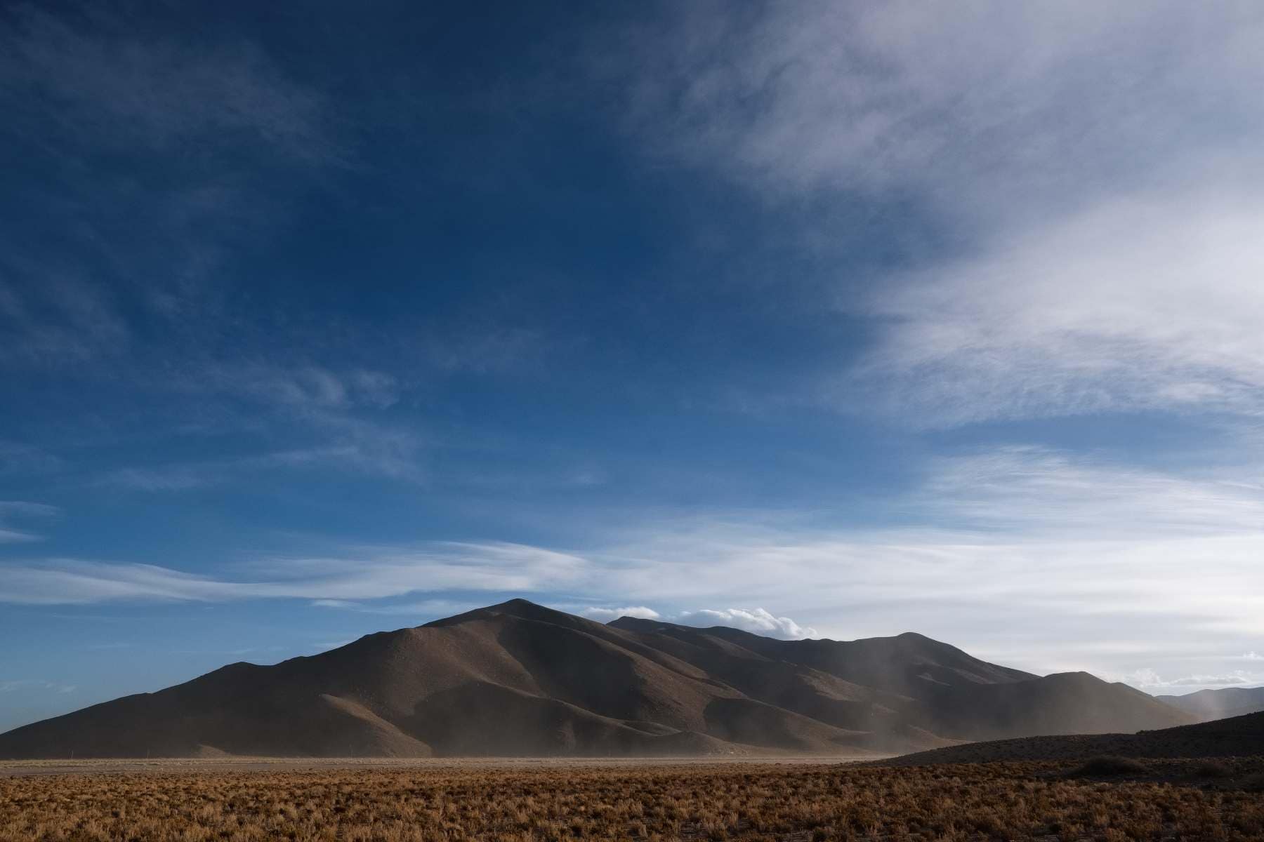
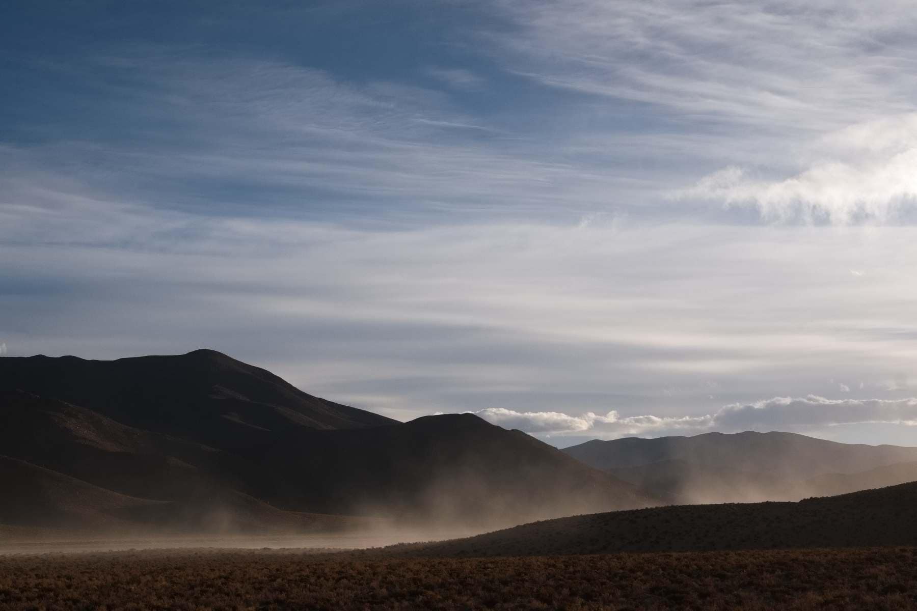
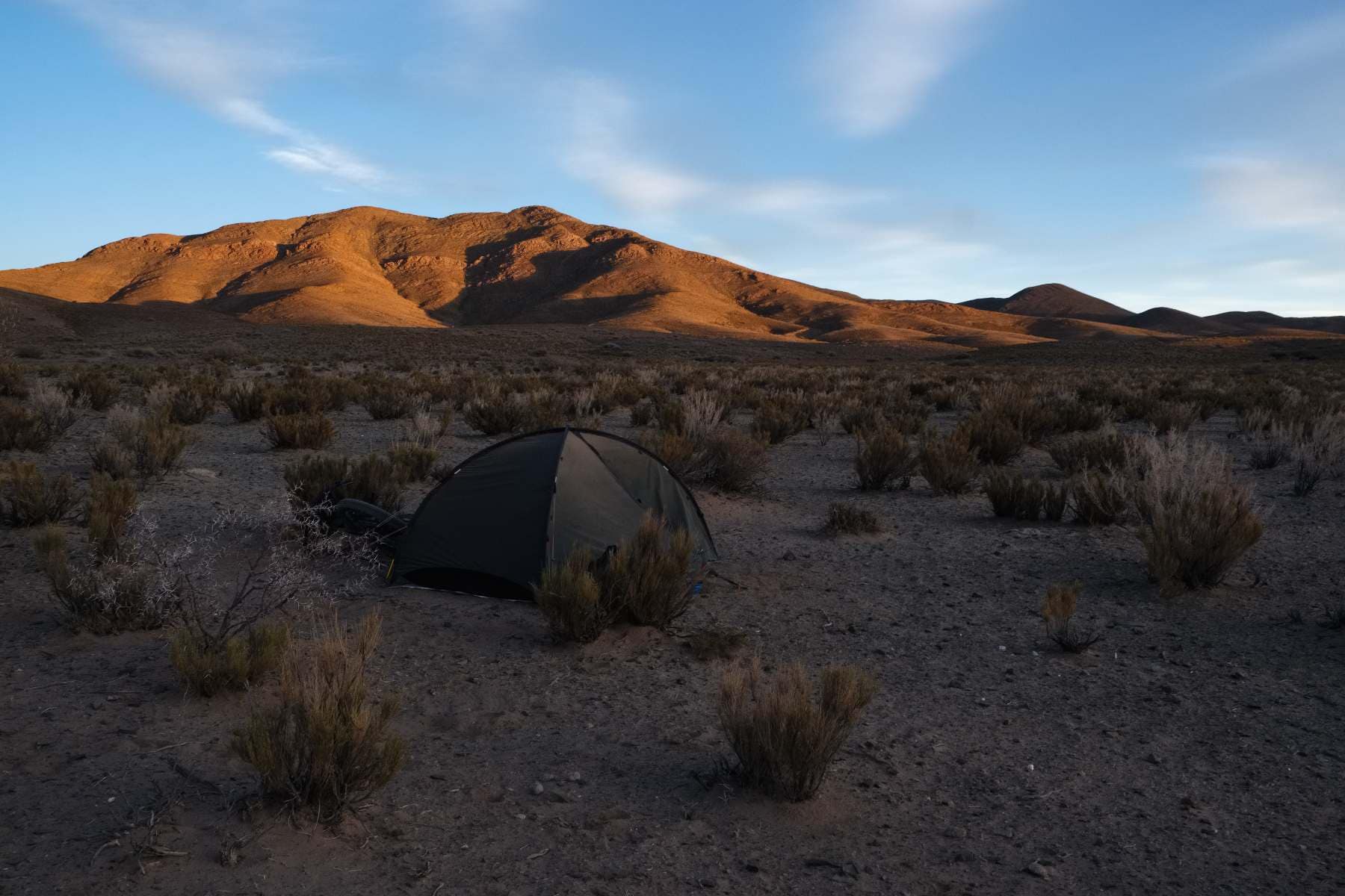
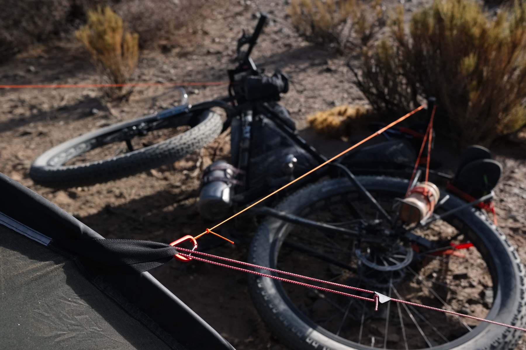
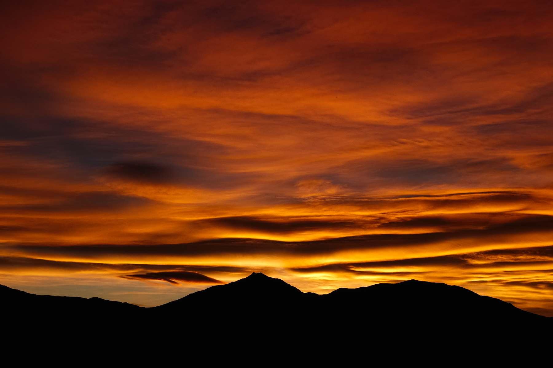
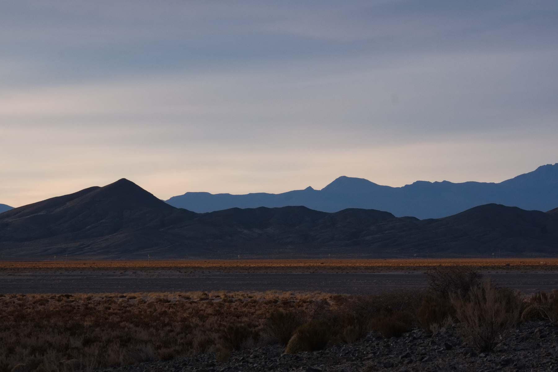
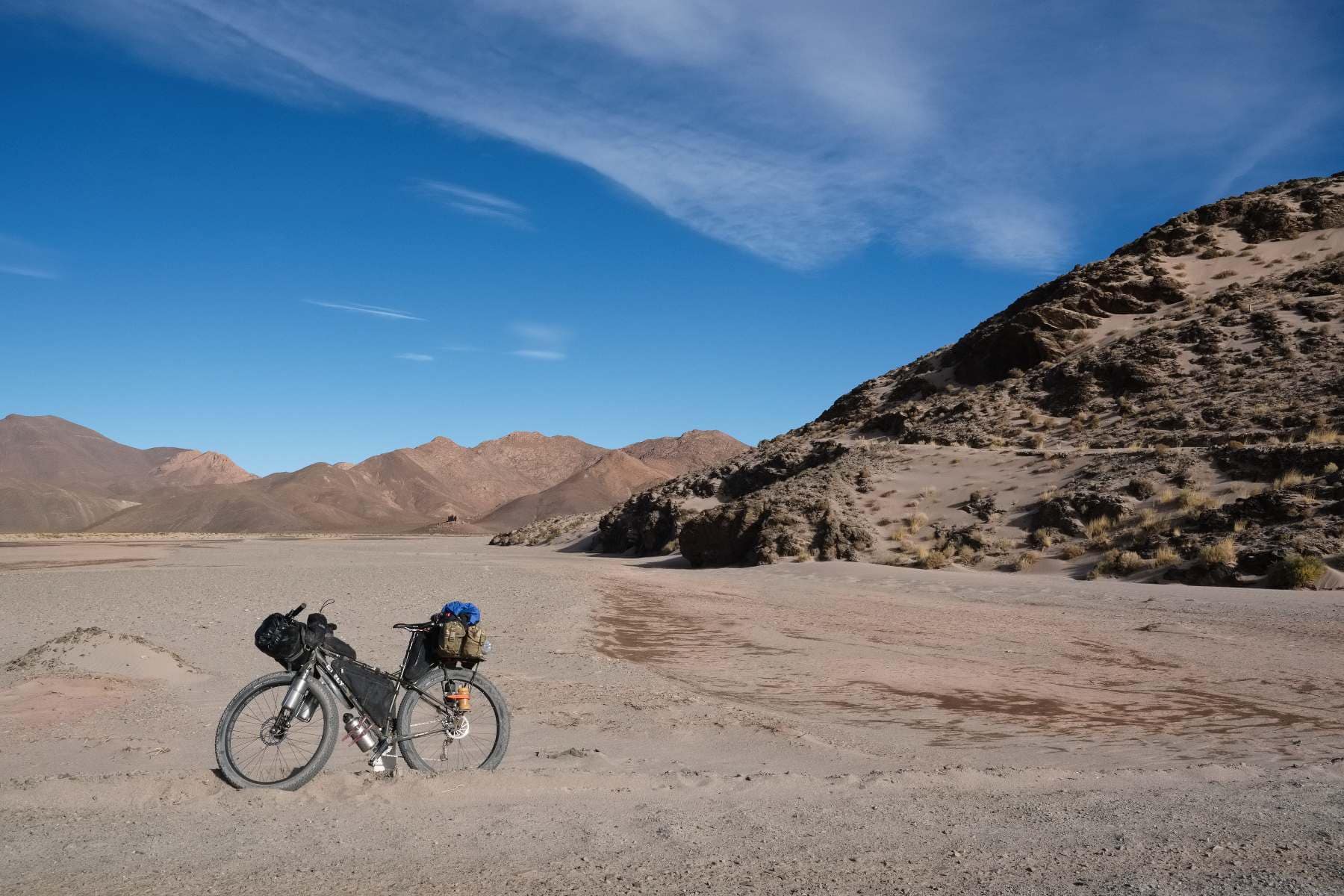
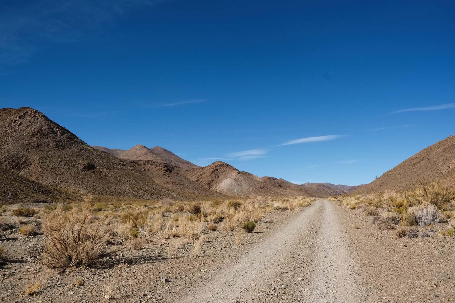
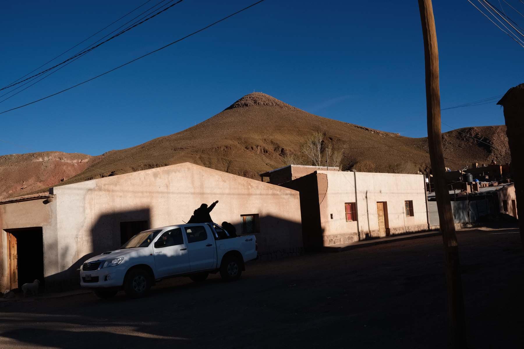
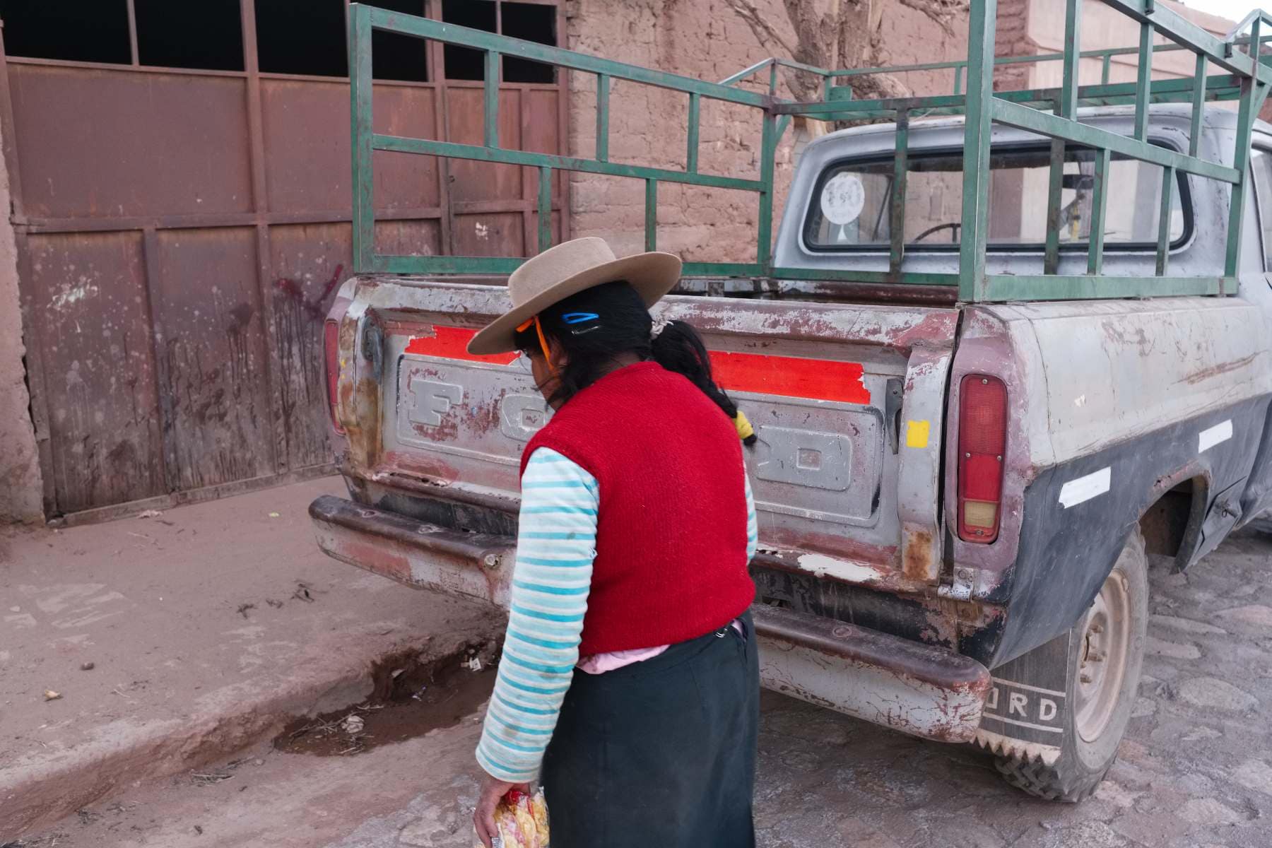
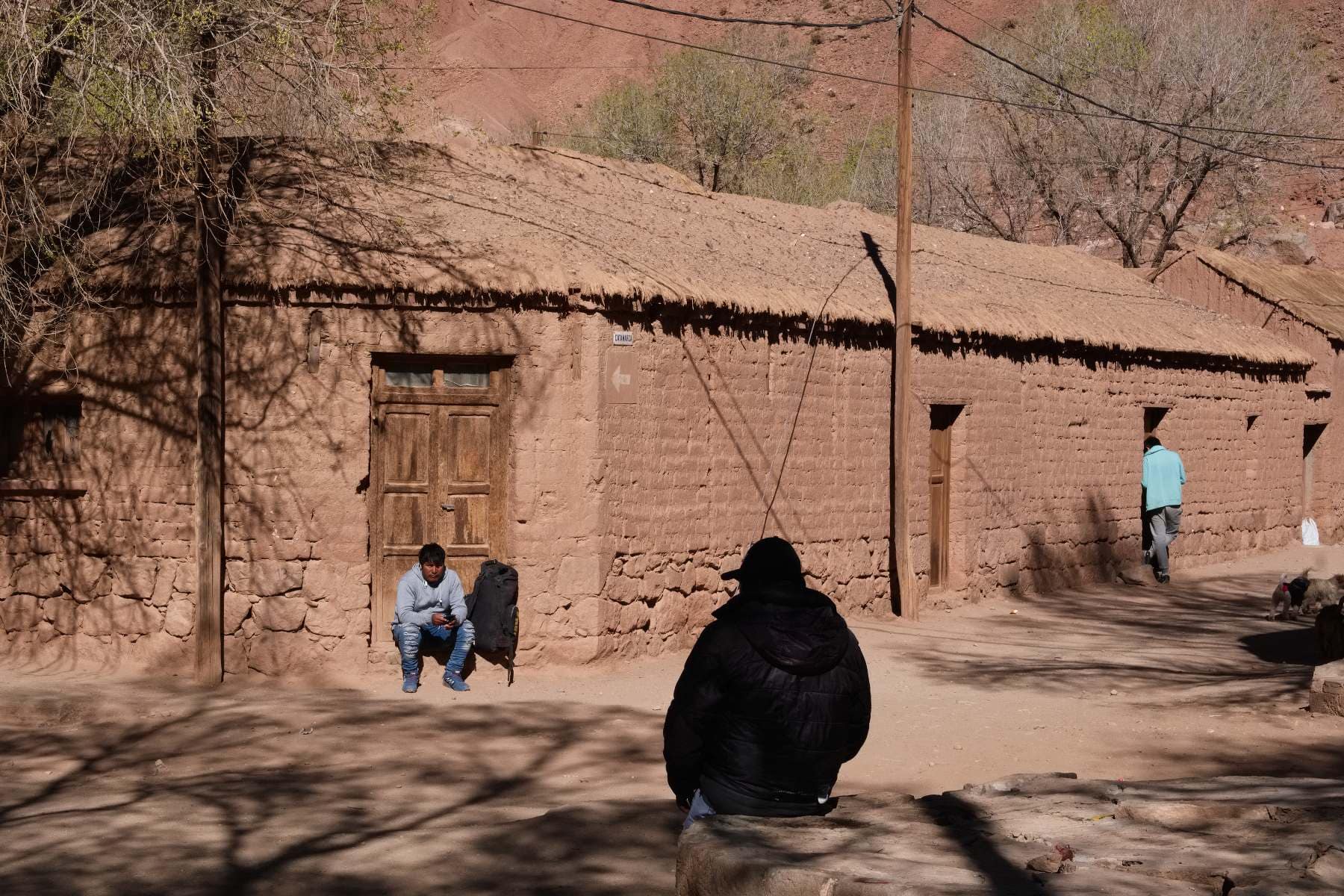
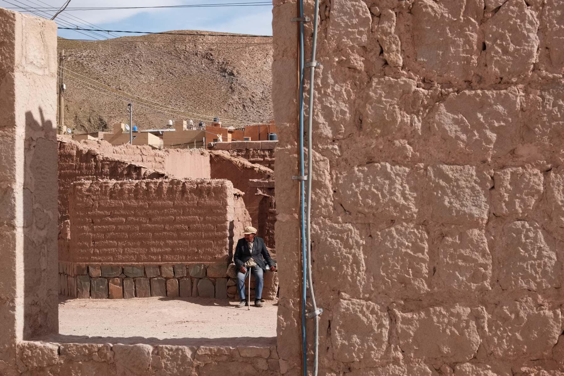
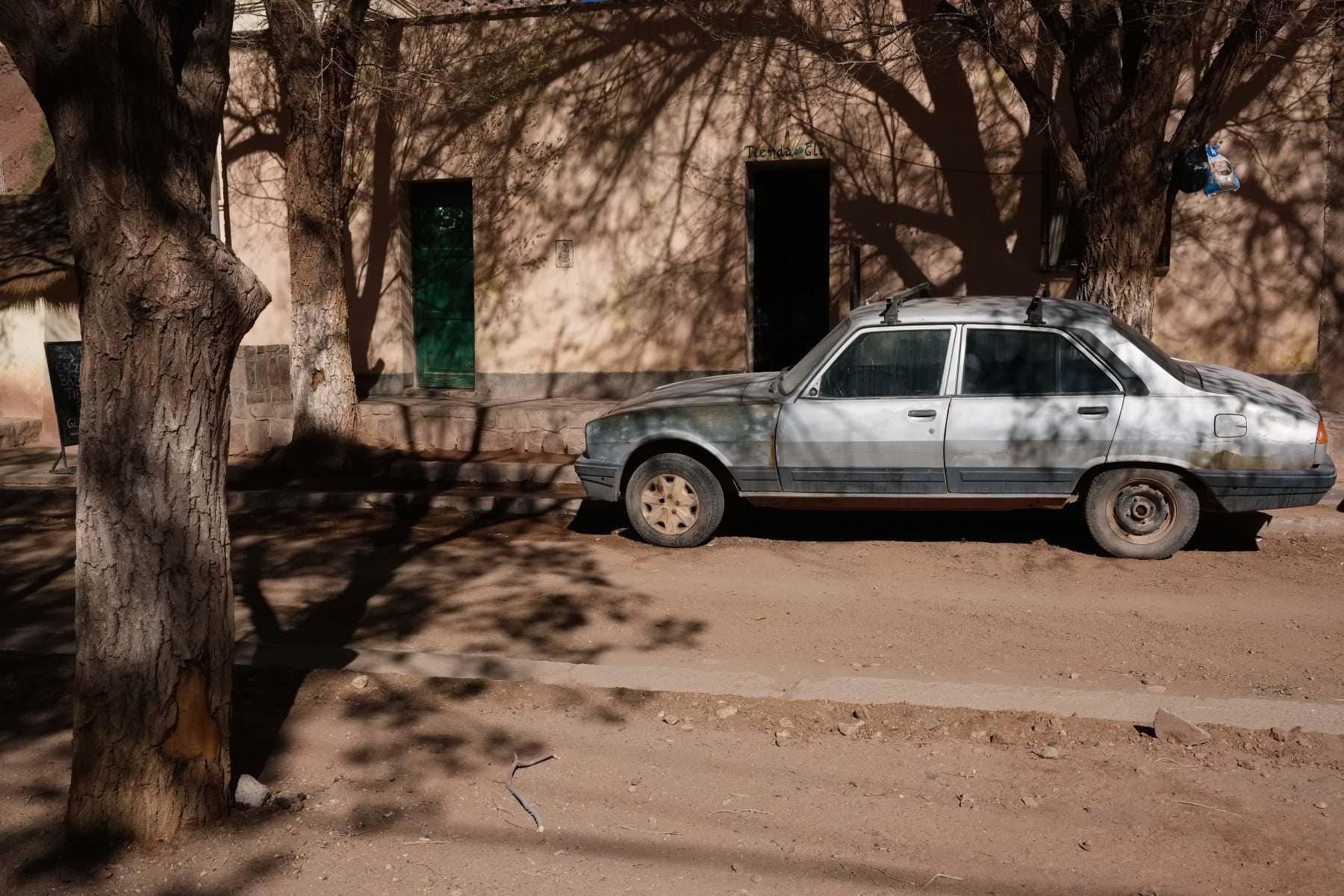
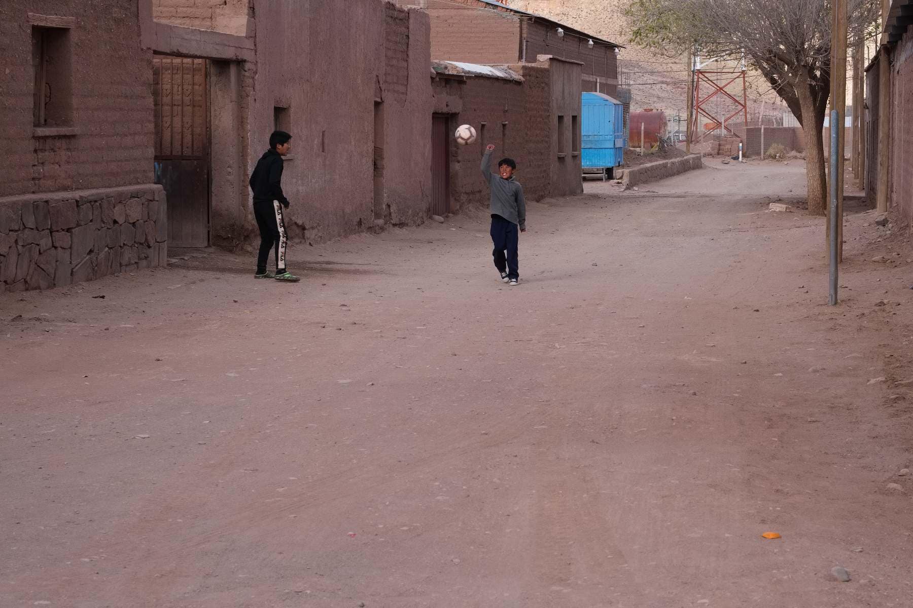
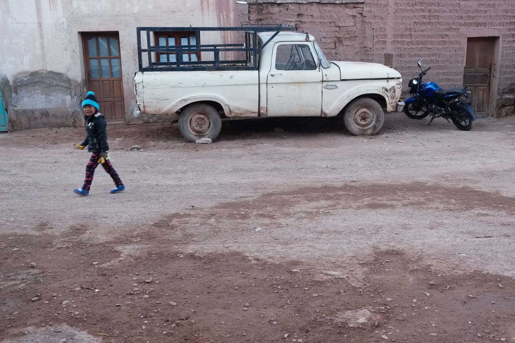
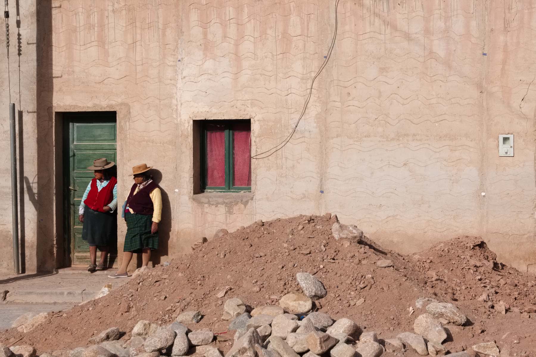
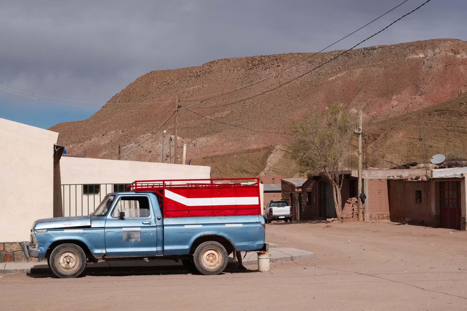
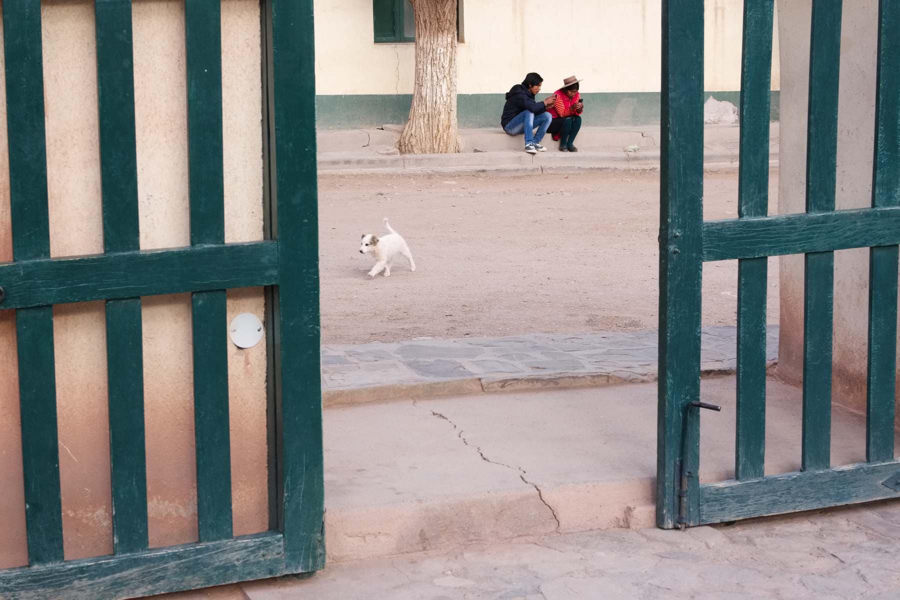
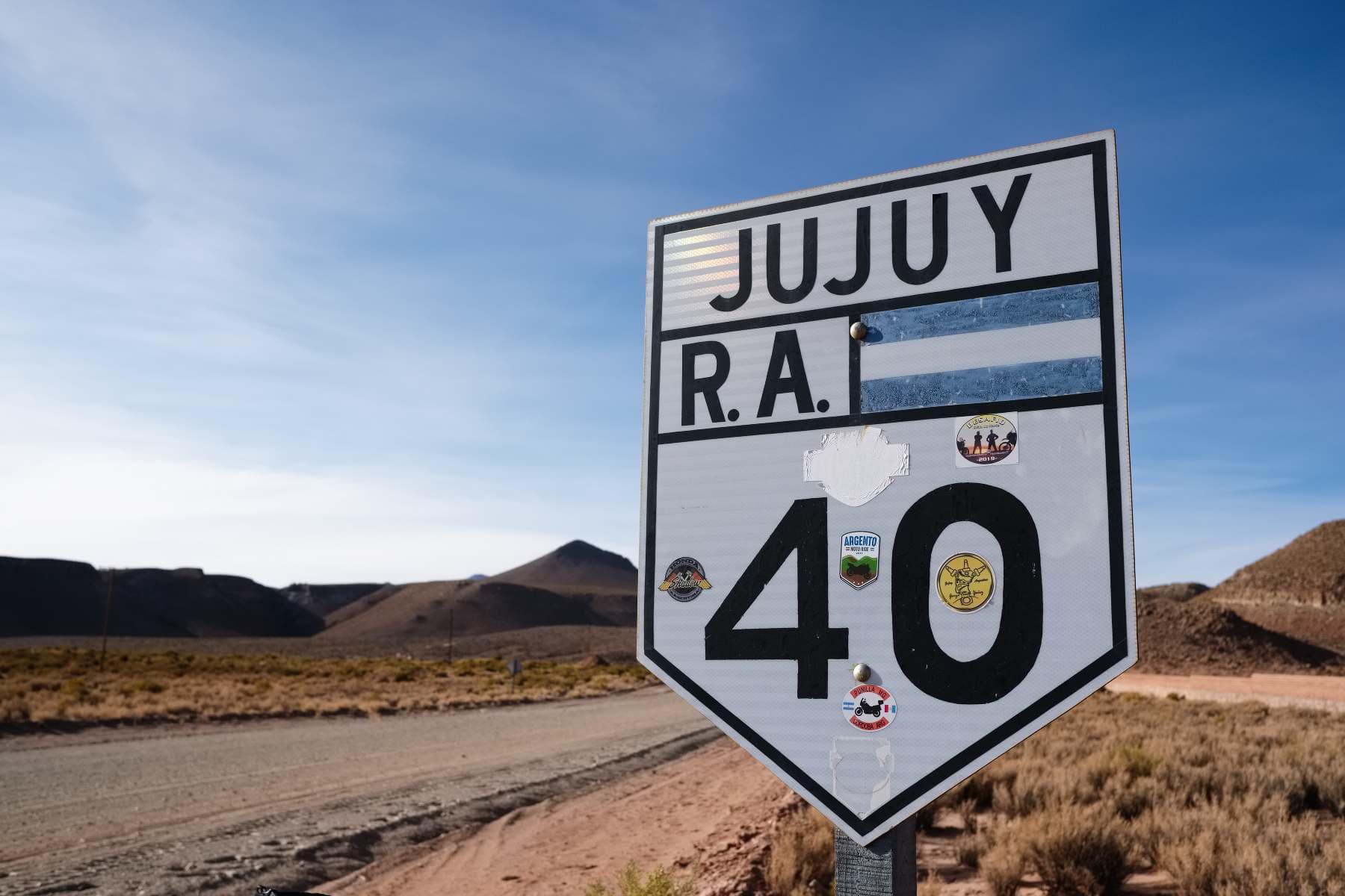
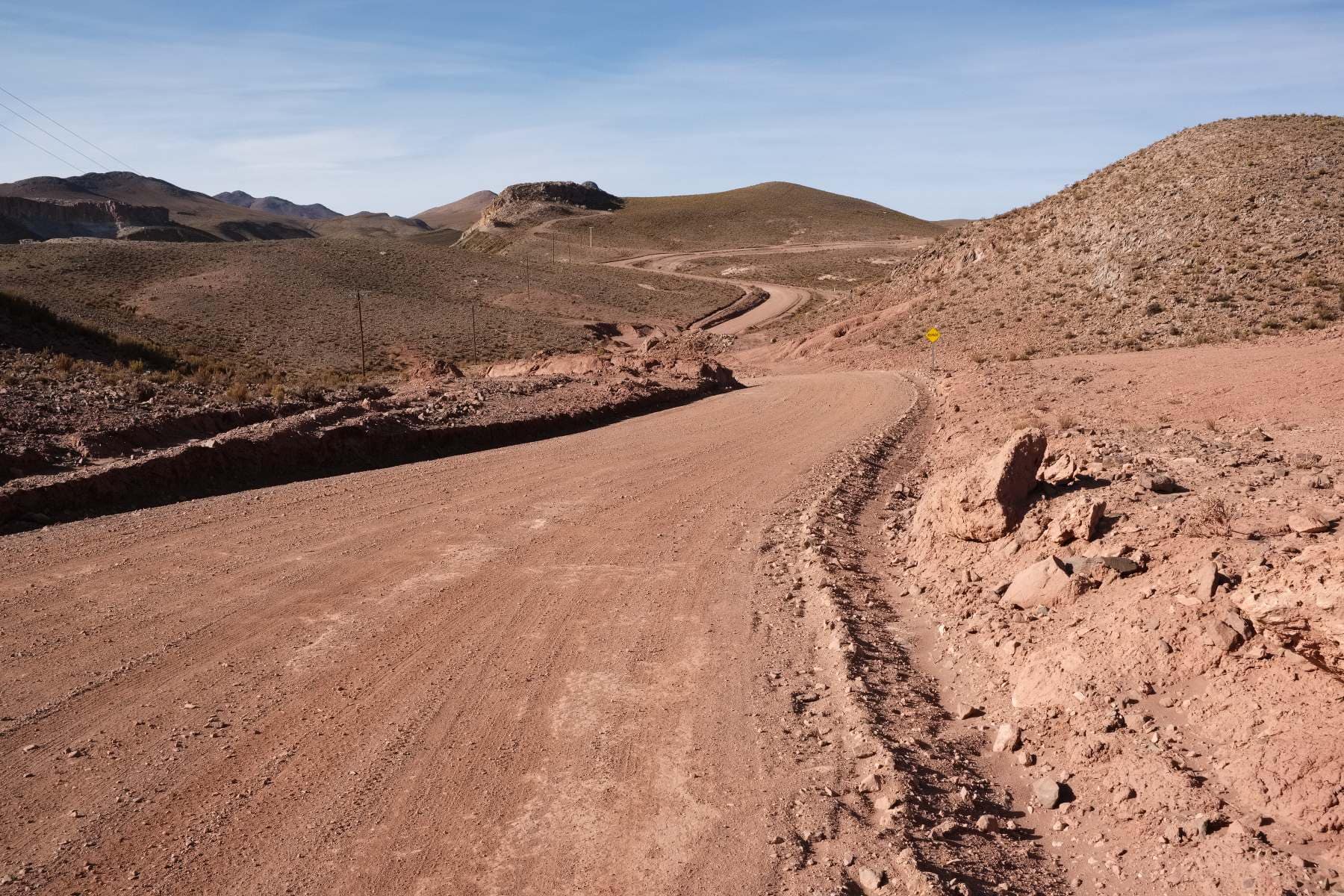
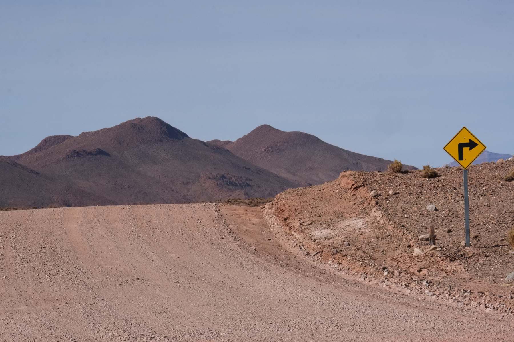
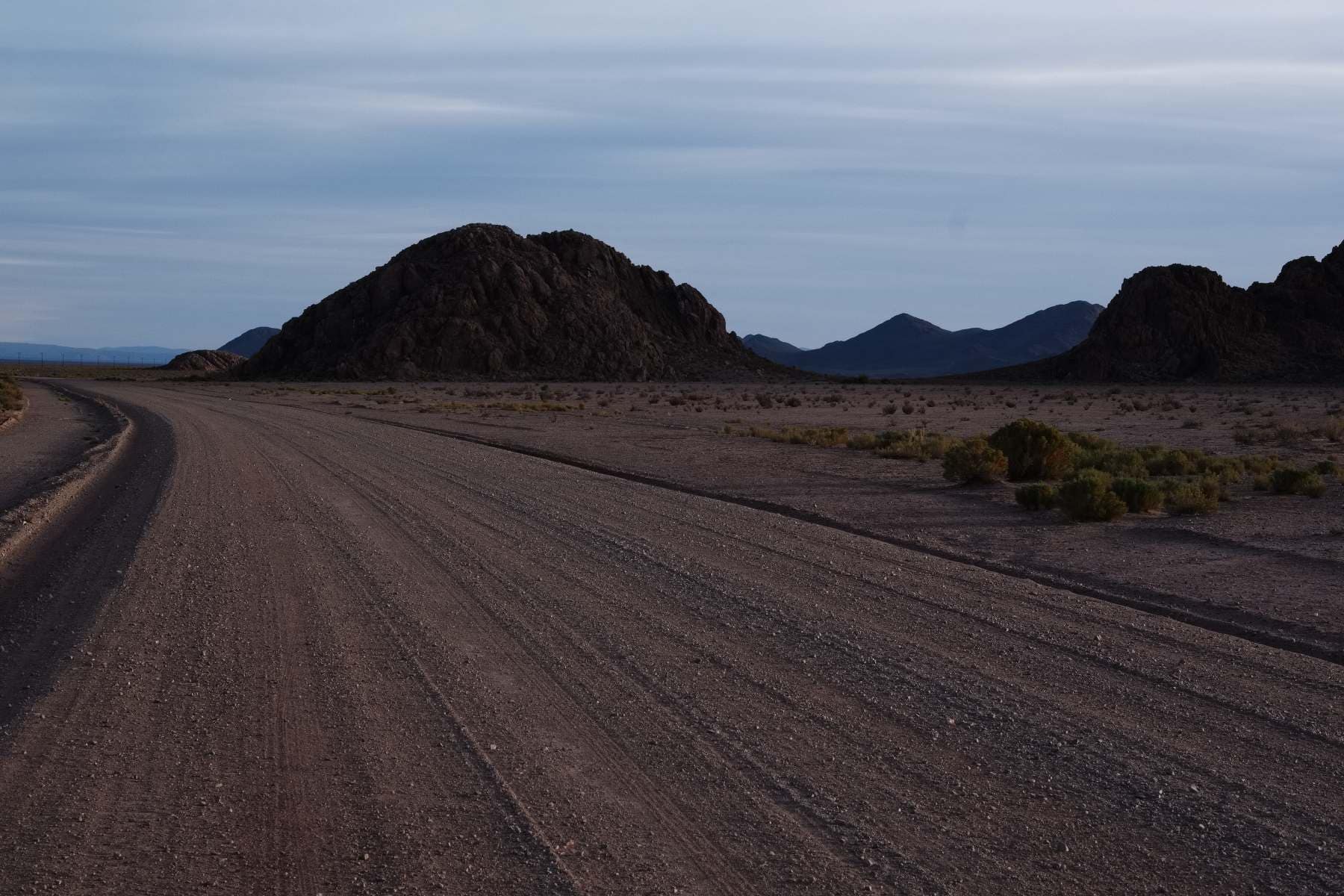
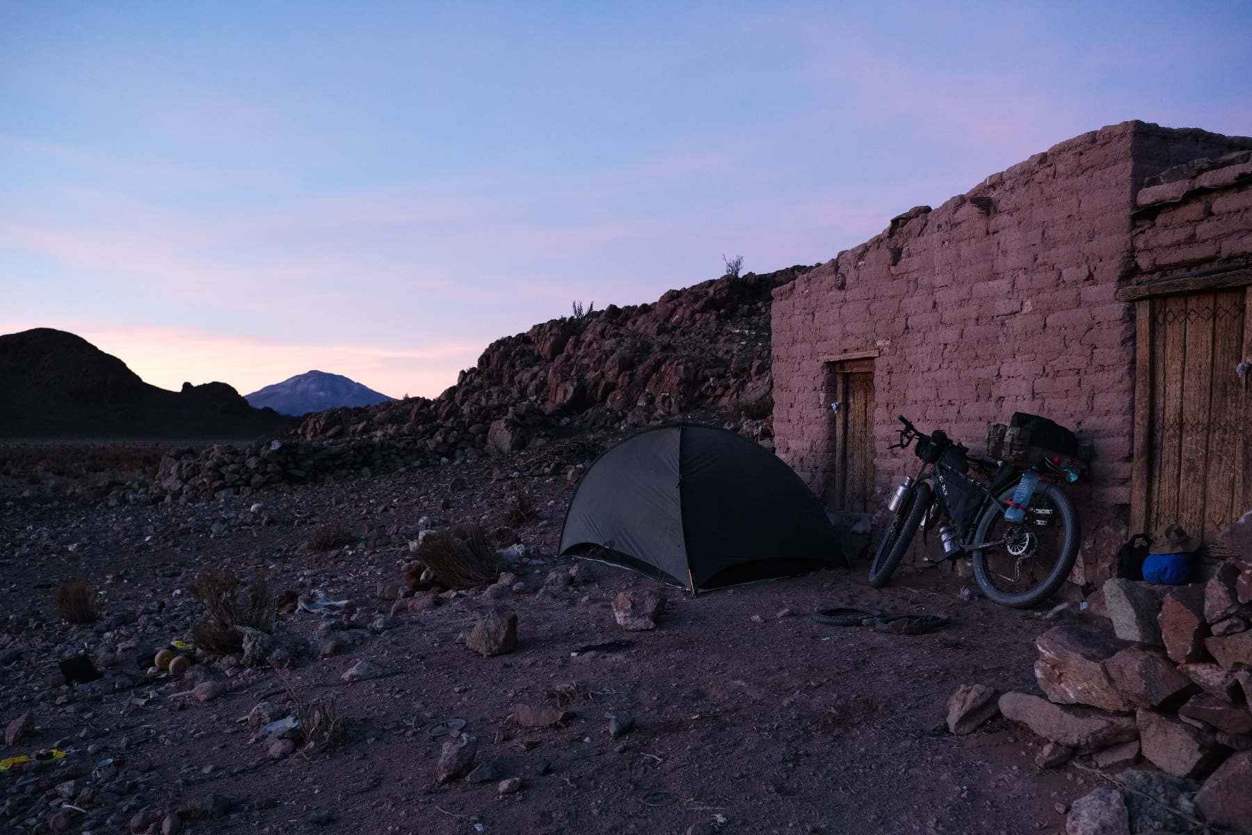
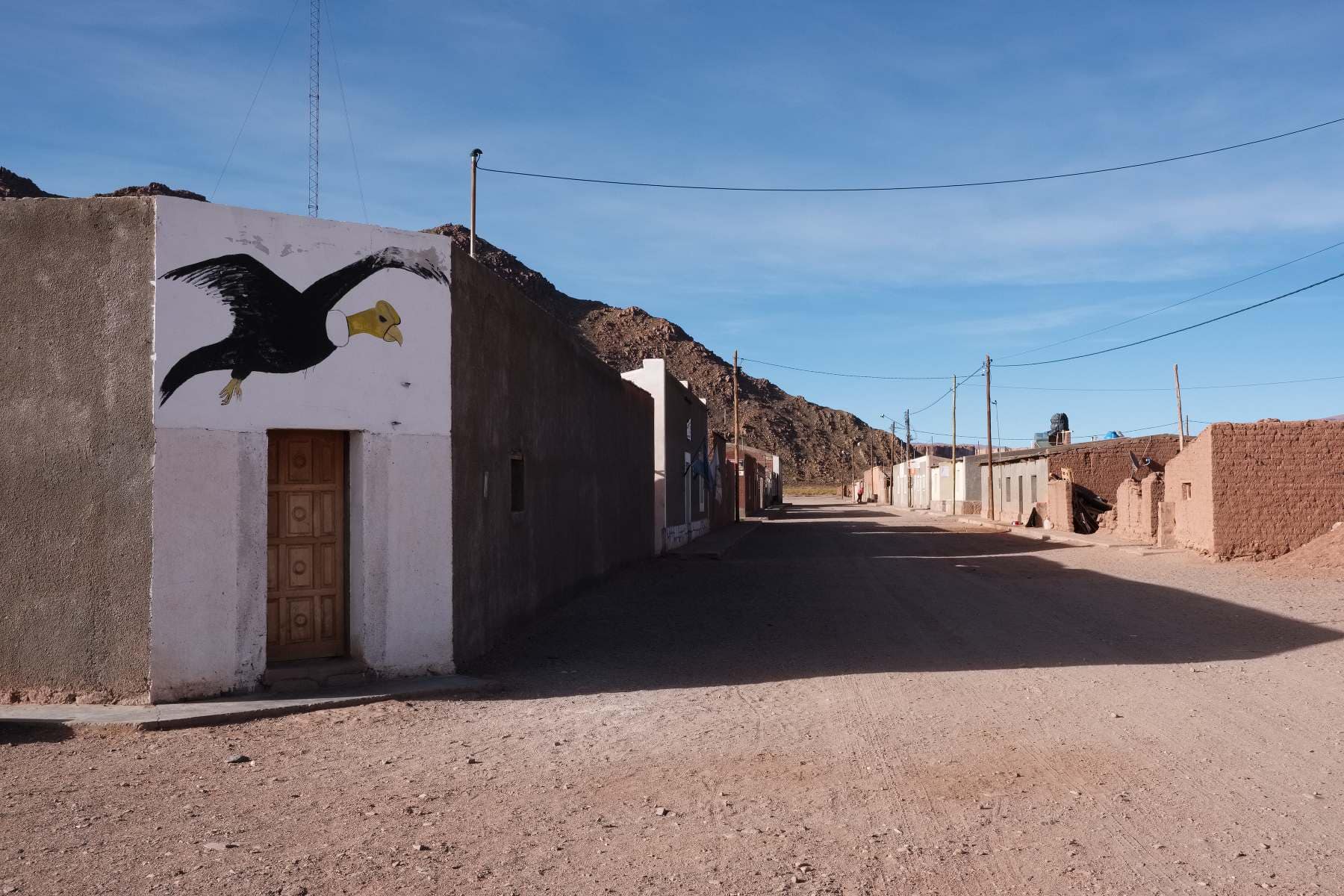
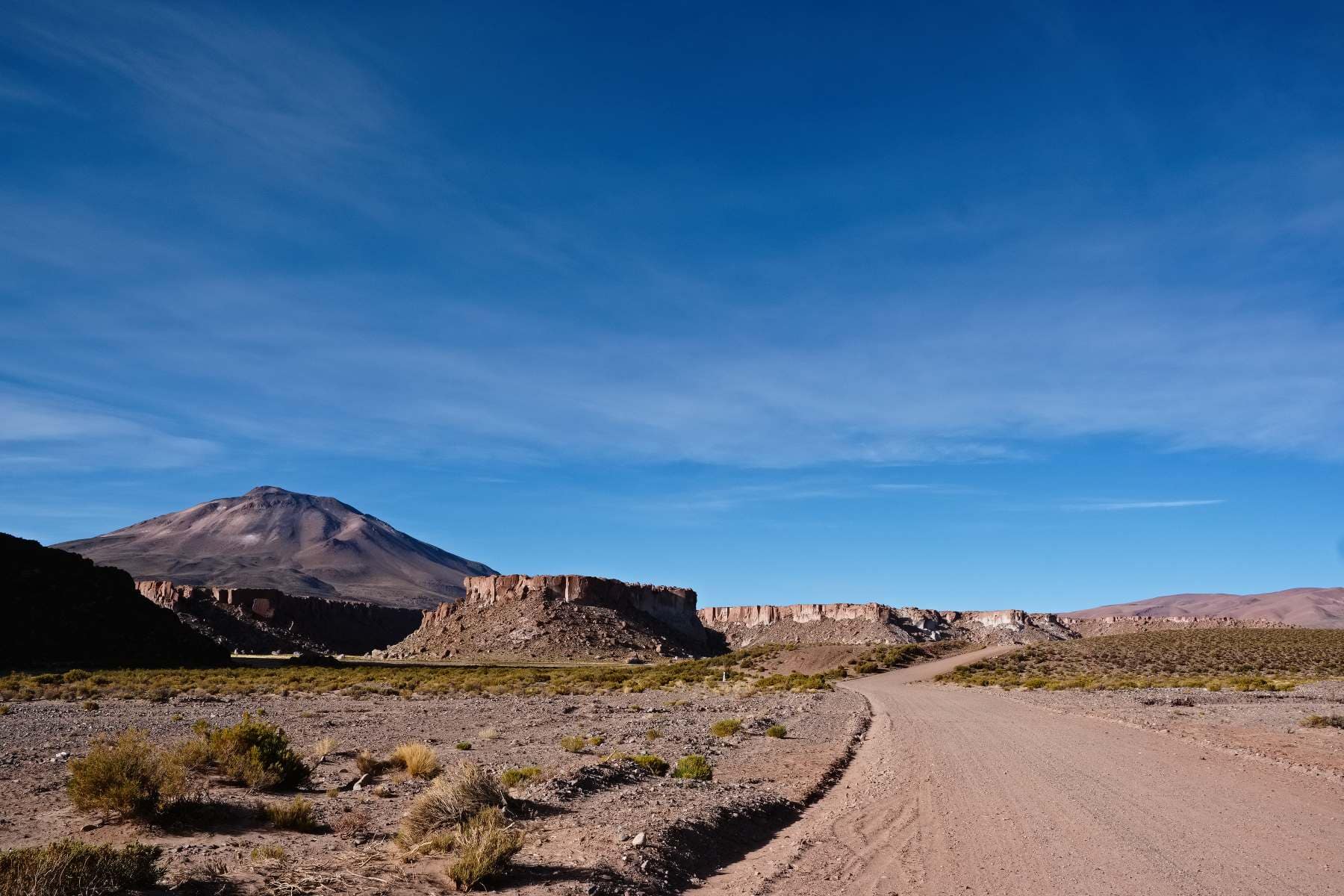
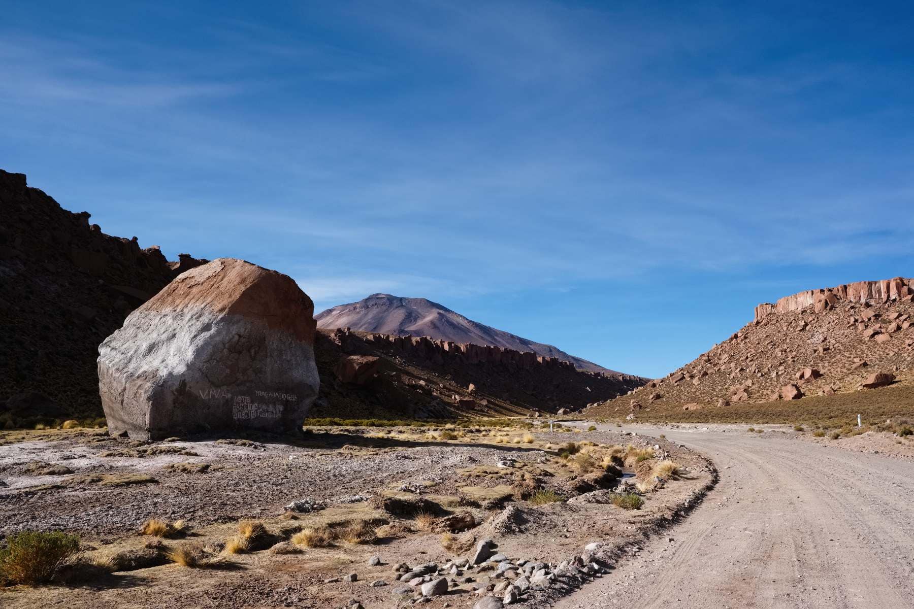
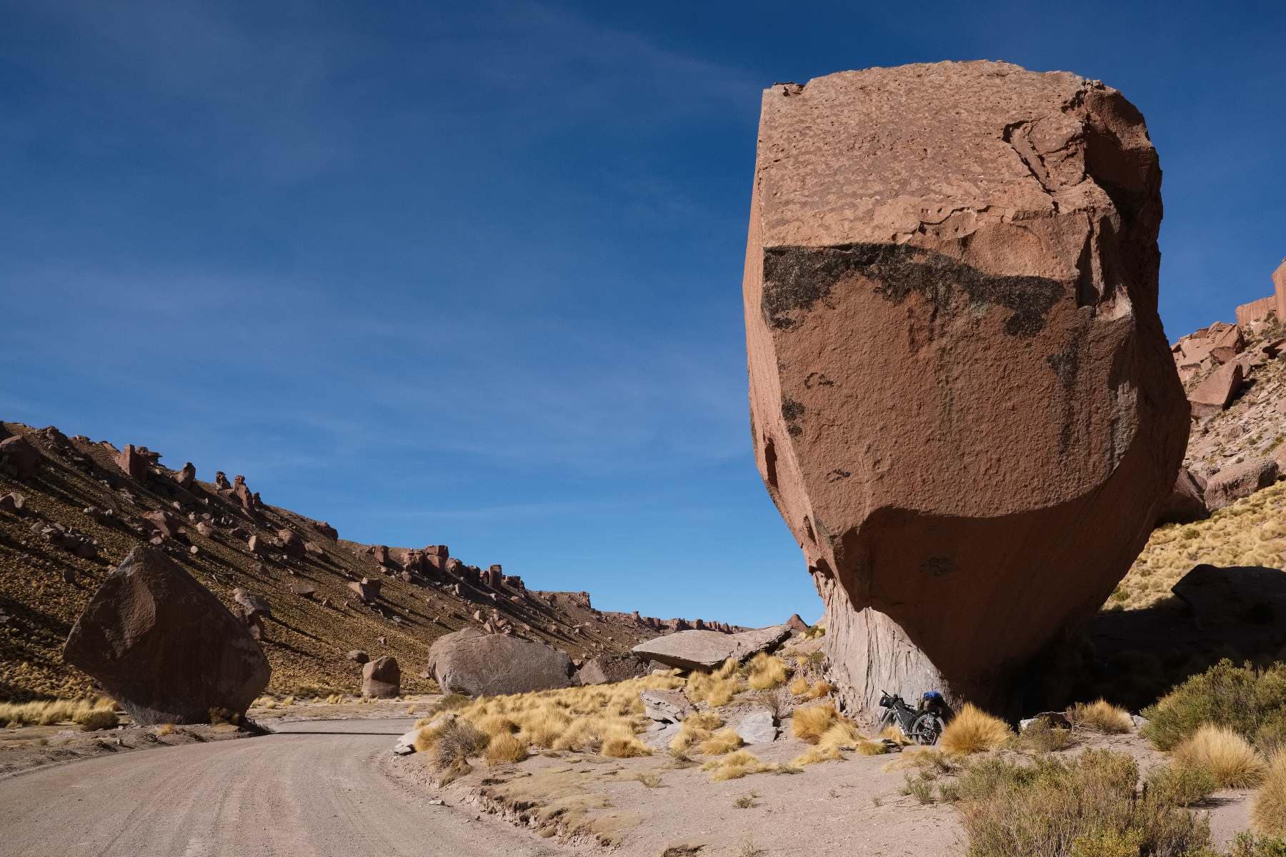
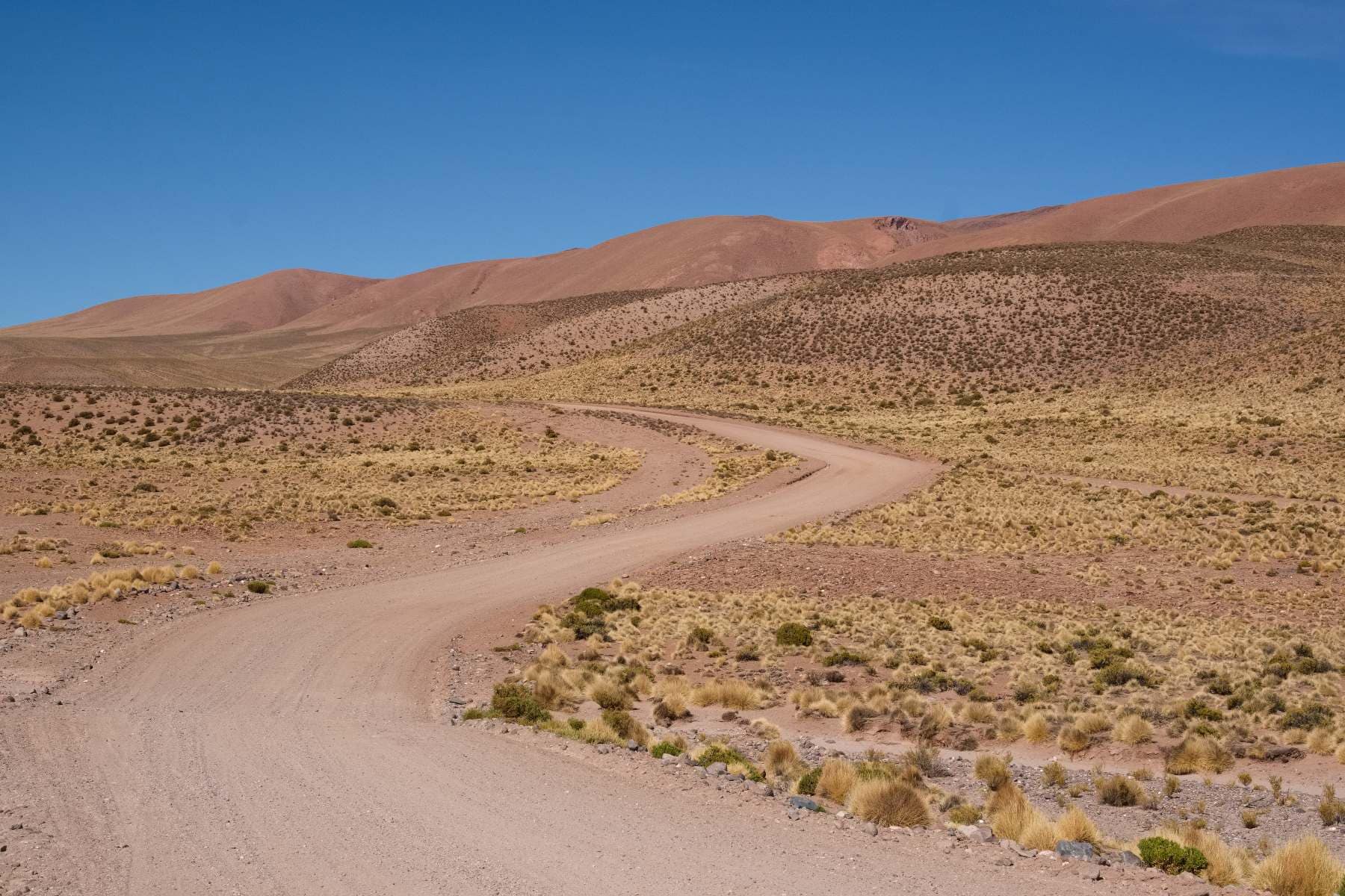
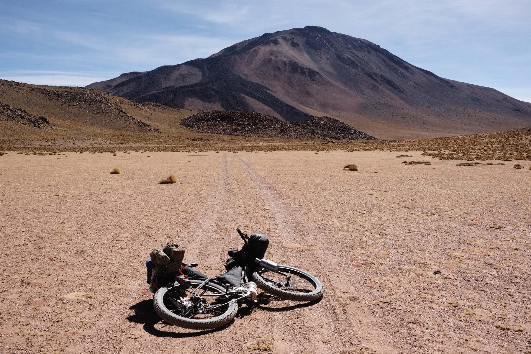
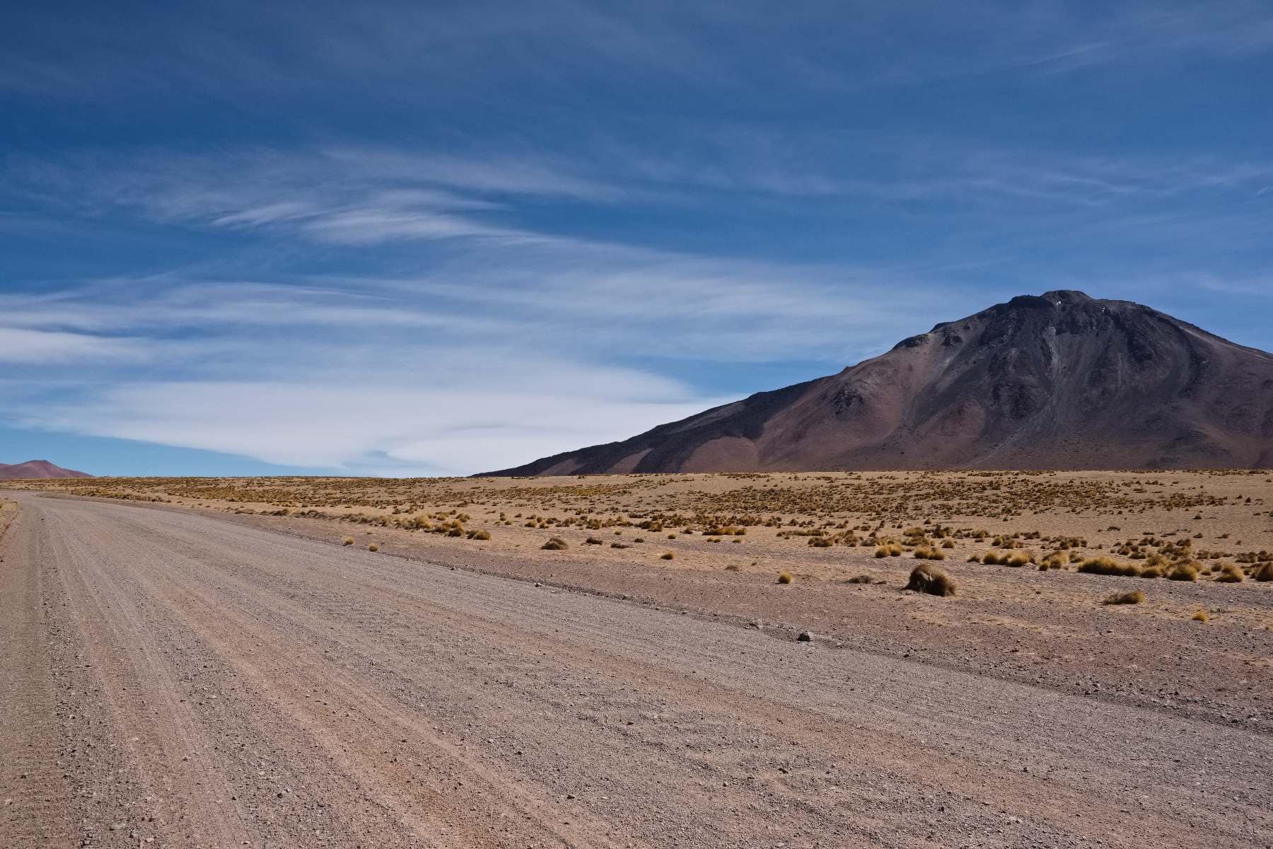
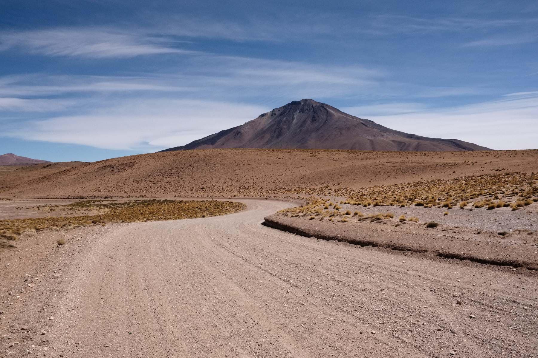
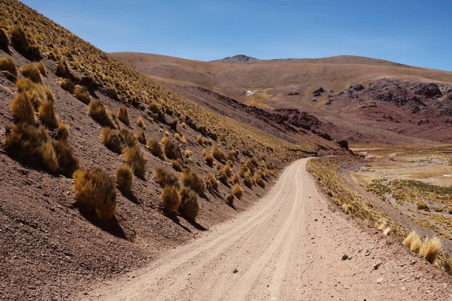
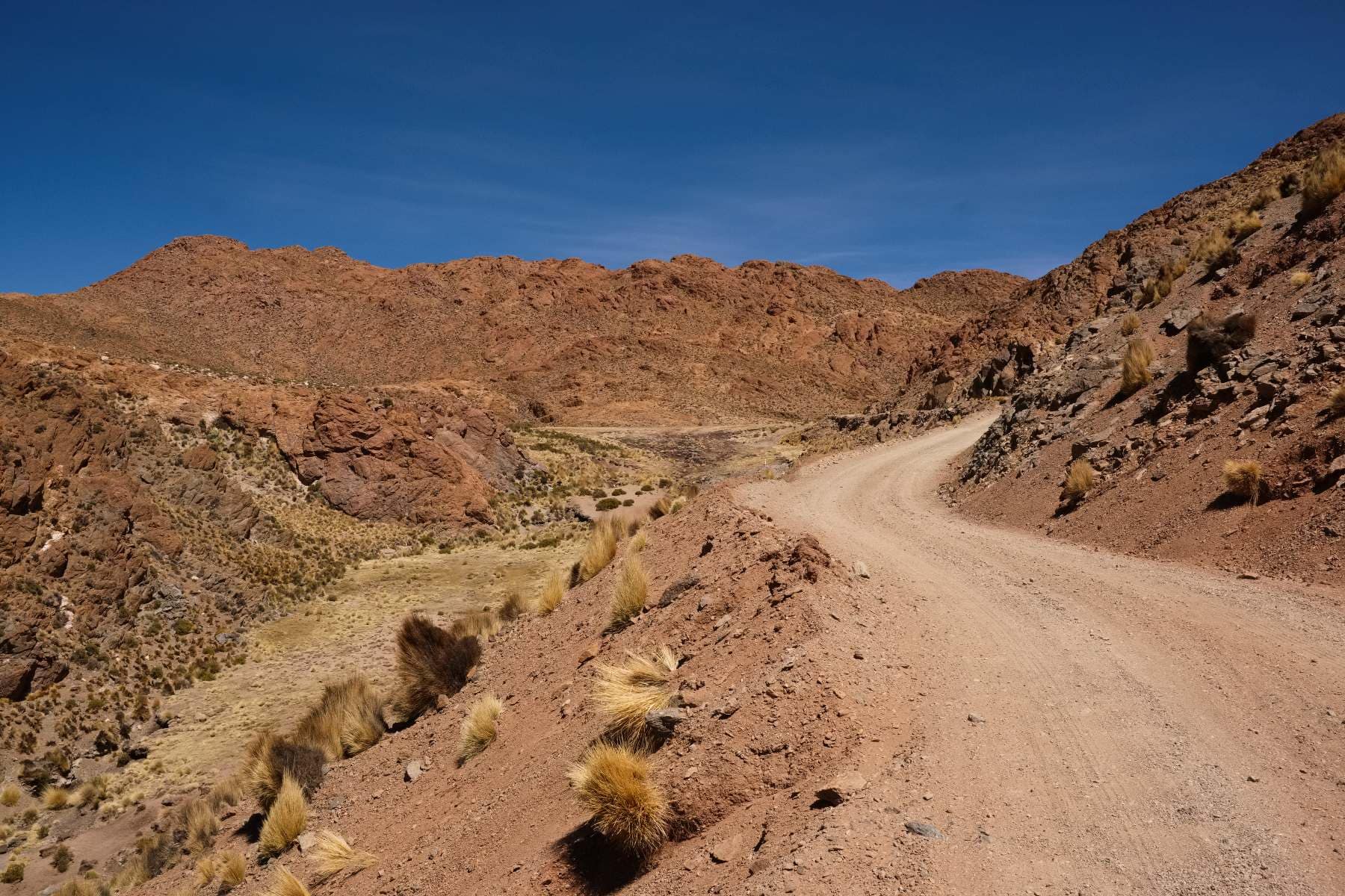
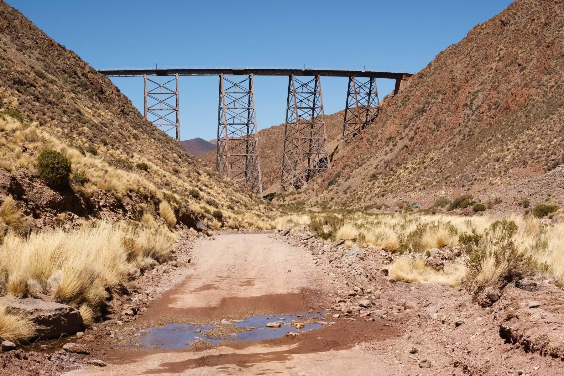
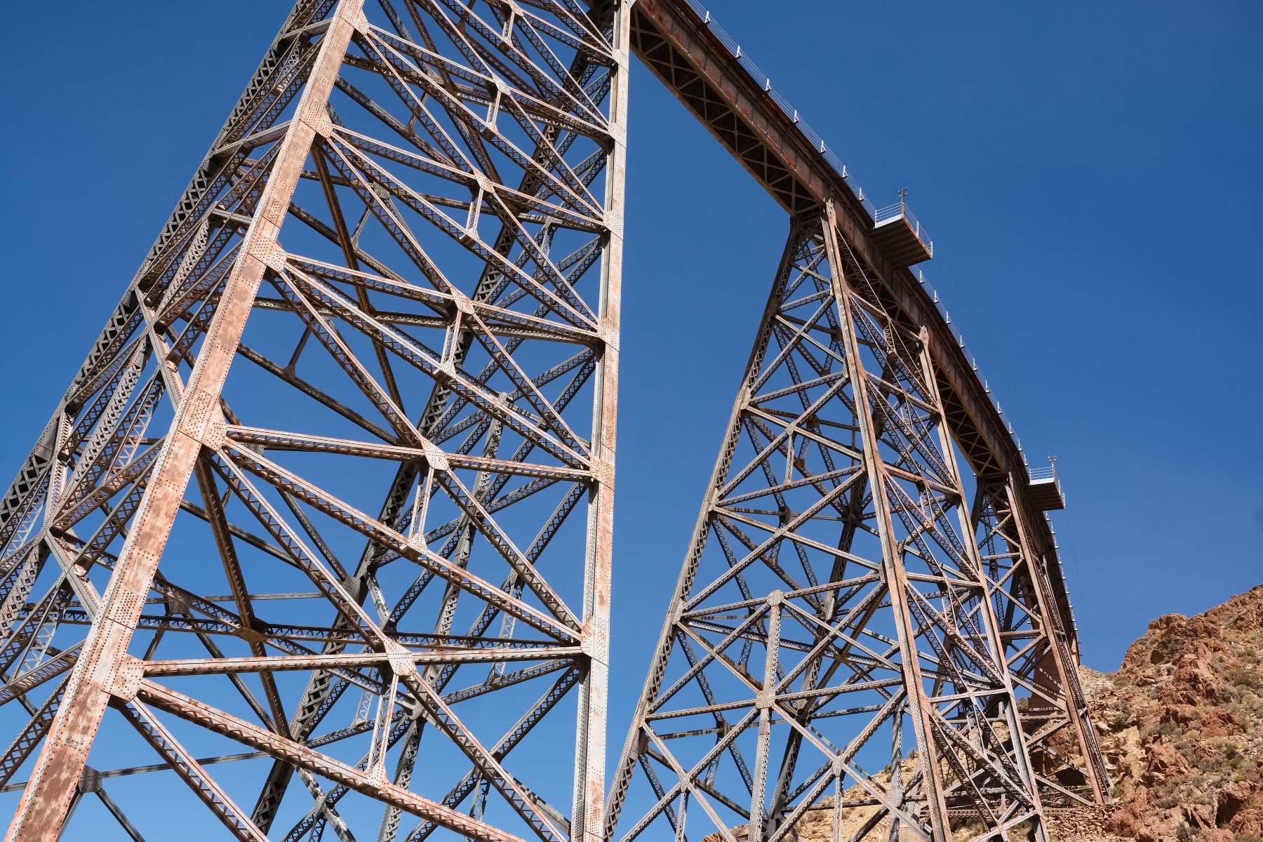
La QuiacaLa QuiacaLa Quiaca.. the sad legacy of the abandoned railroad; the last freight train ran in 1993. There is however a new initiative to revive this railway, at least between the city of San Salvador de Jujuy and La Quiaca, with Latin America’s first solar train. Whether it actually happens or not remains to be seen, and it’s likely to be a tourism-first project as opposed to hauling freight.La Quiaca. Argentina is the land of the old American pickup truck (and knackered old Peugeot 504, and Renault 12). Expect plenty of pictures.La QuiacaWindy skies heading southwest across the pampa.Large swathes of the pampa around La Quiaca and Abra Pampa are carved up into estancias. Stuff grows here.Weather ahead…Heading southwest the landscape becomes more rugged and inhospitable as the pampa transitions to the arid puna.While camped here I was woken around 2am by a loud, periodic high pitched screeching/laughing noise close to my tent. The night was a full moon so I wondered if there was such a thing as a were-llama or were-alpaca on the hunt for unsuspecting campers before realising it was a guanaco alarm call. Doubtless a hungry puma was on the prowl nearby.There were some magnificent cacti clinging to the rocks above my camp. The cacti around here are a variety of cardón. The porous wood is used as a building material and can be seen all over the place in use for roof beams, doors and so on.I needed to detour to the village of Casabindo for water – it’s an extremely dry area. There was a tiny, litter-filled stream just outside the village which I could have filtered, but it was easier just to beg for a refill in the village. I found myself carrying between 4 and 6 litres each day on this stretch, there are enough villages that there was no need for more.CasabindoThe road from Casabindo… progressing southwest things become more arid, and more interesting.In the far distance you can just see the white of one of the numerous salt-pans that dot the puna.EmptyVicuña.ClimbingLooking back down the climb.These magnificent cliffs are near the village of Abdón Castro Tolay.Abdón Castro TolayThe riding around here was sublime; the cliffs providing a little shelter from the omnipresent gale.Near Abdón Castro Tolay.I stopped for water in Abdón Castro Tolay. Handily there is a tap with drinking water in the small plaza in front of the church.Things became more open, and hence windier after the village. Progress reduced to just a few km/hr by the strong afternoon winds.It’s the kind of desert in which everything, from ankle-high scrub, to head-high bush, wants to poke holes in passers-by.Late afternoon light….. with the gale whipping up sand and dust from the desert floor.The best I could do for the night in terms of shelter was to put my tent behind a low,sandy bank. It didn’t make much difference, it was a wild night in which everything from dinner to my sleeping bag acquired a crunchy, gritty flavour.Before leaving home I made up some additional guylines for my tent. I’ve been very glad I did, my bike often makes a handy additional anchor, burying the handlebar end and crank/pedal deep in the sand help keep things solid. It’s not always enough however.I don’t normally take pictures of sunrises and sunsets; they have to be truly special for it to be worthwhile. Dawn was spectacular as waves of liquid gold flowed across the sky above the high desert.Puna dawn.Back on the road.. and sand.Lots of sand..Roads like these….I stopped in the village of Susques for a resupply,and feeling quite tired, a day off. It’s small mud brick village the colour of the surrounding mountains. Being on the intersection of Ruta 40 and Ruta 52 to Chile it has some limited services for travellers. There is a place to stay, and if you’re lucky, a place to eat. The shops have a reasonable variety of stuff, including fresh fruit and some half-decent bread which was wonderful.Susques.The village had a bit of downbeat feel. It would be far from prosperous at the best of times I think.SusquesSusquesSusquesSusquesSusques.Susques. The village electricity supply appeared to come from a giant diesel generator. It would be a prime location for a combined solar + wind and battery storage project.SusquesFrom Susques I hooked into Ruta 40. At 5194km in length it is Argentina’s longest continuous highway, and one of the longest in the world. I last used it some 5000km to the south in Patagonia. It was hard going then, and was hard going up here in the far north.In the far north Ruta 40 serves primarily to link a a few remote communities, and as something of an attraction for the adventurous tourist. As such it is a very quiet road; a few pickup trucks each day and the very occasional motorcycle traveller (I saw one).From Susques it is a 90km climb to the high point of this stretch, at somewhere between 4500 and 4600m, on the flanks of the Tuzgle volcano. Gradients are mostly slight however until past Puesto Sey at 70km from Susques.It’s not always particularly easy going however; the surface is soft for large stretches and the prevailing west-southwest winds are a cross-headwind. Photo is pre-dawn, there was far too much dust and sand flying around the previous afternoon to want to get a camera out…I wasn’t quite prepared for just how bad the winds could get. I thought the regular gales of the past few days were pretty much it… How wrong I was. Tuesday dished up one of the most testing days (and nights) on two wheels I can remember. Caught on an exposed plateau at 3800m in a hurricane force sandstorm. Unable to stay on my bike, and with visibility no more than 150m in vast curtains of grit ripped from the surface of the desert, by 2pm I managed to find a bit of shelter behind a shepherd’s hut. The hut was locked but they’re usually pretty nasty inside anyway, so after much effort and with the assistance of some large boulders, I managed to get my tent up amongst the detritus of decomposing animal skins, bones, piles of llama shit, and human garbage. I crawled in, and stayed put until 5am next day wondering if the tent would survive. Bandana over nose and mouth as gusts like cannonballs brought in a fresh payload of sand and dust to cover everything. The only analogy I can think of for the noise is perhaps camping next to a 747 at take-off thrust. I was out before dawn to try and make it over the high pass before the return of the afternoon “megawinds”. The thought of being exposed a further 800m up did not appeal… The pic is of my tent just before dropping it and hitting the road. Dawn winds were a more agreeable force 4 or so.The tiny community of Puesto Sey sits about 20km below the pass. Despite the early hour folk were happy to refill my bottles for me.Beyond Puesto Sey the road enters a spectacular canyon….. littered with enormous boulders calved from the cliffs above.I loved this one in particular with its base presumably eroded away by sand in the afternoon gales. Parking my bike underneath felt distinctly unsettling. There is also a small stream in this canyon for water should no-one be around in Puesto Sey. It was frozen solid farther up the climb so if using this post as a route guide fill your bottles lower down. Knowing now how exposed the route is north of Puesto Sey, and if doing this again, I think I would leave Susques before dawn and try and reach this canyon by early afternoon for some more sheltered camping.The terrain opens out as altitude is gained.The pass is on the shoulder of volcan Tuzgle, 5486m. My GPS said the road was at 4583m, the route profile says about 4500m. The black areas are ‘recent’ lava flows. Recent in geological terms that is…Volcan Tuzgle.It is a deliciously bleak spot.The descent to the southeast of the volcano feels a little more ‘intimate’ than the approach from the north.I enjoyed this stretch immensely, mainly because the wind was now in my rear quarter.Roughly 30km from San Antonio de los Cobres sits the Viaducto La Polvorilla.It is a quite marvellous piece of work. Built between 1930 and 1932, the central pillar stands 63m high. Components were fabricated in the UK, shipped to Buenos Aires and then transported all the way up here at around 4200m for final assembly. It carries the Salta-Antofagasta railway, which these days is mostly of tourist interest in the form of the Tren a las Nubes (Train to the Clouds).
From there just 30km of high speed downhill to San Antonio de los Cobres, where I have just finished my litre bottle of cerveza Salta Negra. Must mean it is time for siesta, so before I do that, below is the GPS with villages and water marked. The route of 350km has about 55km of asphalt. Not too onerous.
As a footnote, it’s possible to ride Ruta 40 all the way from La Quaica. It goes west right up into the far northwest corner of Argentina. I have no doubt it would make a stunning ride. There were a couple of reasons I didn’t go this way, but mainly to do with feeling worn out beyond that which a couple of days off can fix, and hence the additional 100km and 2000m of climbing not being terribly appealing at that moment….
Like this:
LikeLoading...
4 thoughts on “Pampa to Puna – La Quiaca to San Antonio de los Cobres”
Awesome blog Mike, yet again! What an enchanting description of what must have been a ‘tough’ night in the outflow of a couple of RB211s! Safe travels, sir … oh, and nice sunrise image, dare I say! ;-)
Ahh, I remember that Viaduct. I was desperate to reach San Antionio de los Cobres from memory. Nice town & empenadas to boot.
Thanks for the story & pics, much appreciated. Enjoy your rest!
hey Jon, thanks for writing, good to hear from you. As for being desperate to reach San Antonio, haha… I get that! I’m having 3 days here, just utterly worn out at the moment (and underweight…)


Awesome blog Mike, yet again! What an enchanting description of what must have been a ‘tough’ night in the outflow of a couple of RB211s! Safe travels, sir … oh, and nice sunrise image, dare I say! ;-)
haha, cheers and yes, can’t beat an RB211 for a spot of white noise to help with insomnia….
Ahh, I remember that Viaduct. I was desperate to reach San Antionio de los Cobres from memory. Nice town & empenadas to boot.
Thanks for the story & pics, much appreciated. Enjoy your rest!
hey Jon, thanks for writing, good to hear from you. As for being desperate to reach San Antonio, haha… I get that! I’m having 3 days here, just utterly worn out at the moment (and underweight…)